
TrafiOne the focal point for Flir Systems at Intertraffic

Flir Systems is using Intertraffic to launch the Flir TrafiOne Smart City Sensor, an all-round detection sensor for traffic monitoring and dynamic traffic signal control. Offered in a compact and easy-to-install package, the device uses thermal imaging and Wi-Fi tracking technology to provide traffic engineers with high-resolution data on vehicles, bicycles and pedestrians at intersections and in urban environments.
April 4, 2016 Read time: 2 mins
Katty Pepermans of Flir with the TrafiOne Smart City Sensor
6778 Flir Systems is using Intertraffic to launch the Flir TrafiOne Smart City Sensor, an all-round detection sensor for traffic monitoring and dynamic traffic signal control. Offered in a compact and easy-to-install package, the device uses thermal imaging and Wi-Fi tracking technology to provide traffic engineers with high-resolution data on vehicles, bicycles and pedestrians at intersections and in urban environments.


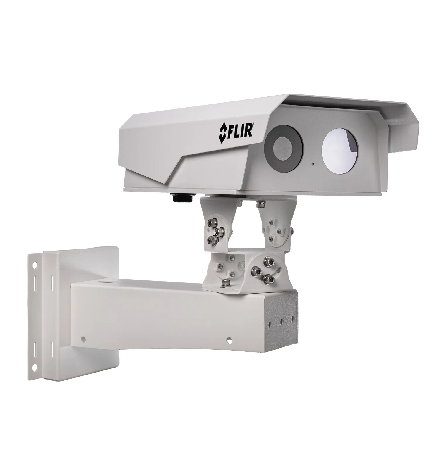
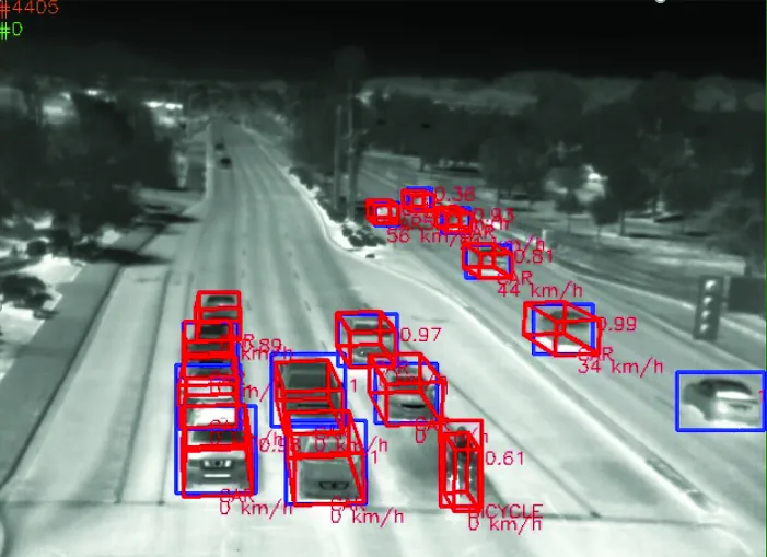
The Flir TrafiOne sensor uses thermal imaging to detect the presence of pedestrians and cyclists who are approaching or waiting at the curbside or who are actually walking on a street crossing. Thermal imaging cameras can see in total darkness, through shadows and sun glare, and thus provide reliable traffic detection 24/7. TrafiOne is connected to the traffic signal controller to allow for a more dynamic control of traffic signals based, on presence or volume information.

TrafiOne has optional Wi-Fi tracking technology that can be used to capture traffic flow data. By monitoring Wi-Fi Mac addresses of Wi-Fi enabled devices such as smartphones, it can determine travel and route times along road segments. Via Wi-Fi signal strength information TrafiOne can also measure queue delay times at intersections.

“Flir TrafiOne will help traffic engineers to improve traffic flows in the city in unseen ways,” says Stefaan Pinck, VP Worldwide ITS Sales at Flir. “Through data collected by the Flir TrafiOne sensor, they will be able to adapt traffic signal schemes, reduce vehicle idling time, monitor congestion, enhance safety for vulnerable road users and measure travel and delay times for different transport modes.”

The information collected by TrafiOne can be accessed for further analysis by Flir’s cloud-based analysis platform. The company says smart analytics transform the data into useful traffic insights, which are critical to understand the road network performance and to take measures where they are needed.

Related Content

  • September 23, 2024
    TrafiBot Dual AI camera has tunnel vision
    Multispectral system automates incident detection and delivers early fire detection
  • February 16, 2018
    Flir to showcase dual vision and C-ITS technology
    Flir ITS will use Intertraffic Amsterdam 2018 to showcase Dual Vision Technology (DVT), combining best-in-class thermal imaging detection and HD visual imaging to provide a complete traffic monitoring solution for road and tunnel operators. Moreover, DVT has the exceptional functionality of detecting fire at an early stage, together with see-through-smoke capabilities. Flir’s C-ITS technology promises major benefits in mobility applications, such as traffic signal priority for public transport and
  • November 20, 2013
    Bluetooth and Wi-Fi offer new options for travel time measurements
    New trials show Bluetooth and Wi-Fi signals can be reliably used for measuring travel times and at a lower cost than an ANPR system, but which is the better proposition depends on many factors. Measuring travel times has traditionally relied automatic number plate (or licence plate) recognition (ANPR/ALPR) cameras capturing the progress of vehicles travelling along a pre-defined route. Such systems also have the benefit of being able to count passing traffic and have become a vital tool in dealing with c
  • July 24, 2025
    See the future of traffic clearly with Flir

    Flir is redefining how cities move, and visitors to the company’s stand will step into a world where AI, thermal imaging, and real-time analytics converge to create safer, smarter, and more efficient transportation systems.