Trafficware showcases advances in mapping, software

Trafficware’s engineering advances will be on display at ITS America’s Annual meeting this year, showcasing the just-released ATMS.now Version 2.2 that supports the widely popular Google Maps, as well as Microsoft Bing Maps and ESRI (GIS) mapping utilities. As the company points out, while people grow accustomed to convenience with electronics, traffic engineers need similar flexibility. With Version 2.2, engineers select mapping capabilities from an array of product resources versus being limited to a sin
May 1, 2015 Read time: 2 mins
5642 Trafficware’s engineering advances will be on display at ITS America’s Annual meeting this year, showcasing the just-released ATMS.now Version 2.2 that supports the widely popular 1691 Google Maps, as well as 2214 Microsoft Bing Maps and 50 ESRI (GIS) mapping utilities.

As the company points out, while people grow accustomed to convenience with electronics, traffic engineers need similar flexibility. With Version 2.2, engineers select mapping capabilities from an array of product resources versus being limited to a single one. ATMS.now also boasts enhanced analysis tools, implementing the expanded Measures of Effectiveness (MOE) package with updated Purdue Coordination Diagrams, and a convenient ‘one-step’ installation for both client and server applications, shrinking the time needed to install.

Demonstrations of Trafficware’s pioneering MIT and Trafficware patent-based wireless Pod Detection System will be the real centrepiece at the company’s booth. The Pod works by sensing the disturbances in the earth’s magnetic field that occur due to the presence of a car or motorcycle. Algorithms interpret this disruption and characterise it into meaningful and reliable data, creating the best possible data to drive an adaptive algorithm, like in SynchroGreen. The Pod Detection System does not require repeaters, a feature that Trafficware says has become appealing to the marketplace.

Also, released in preparation for ITS America is Version 9.1 of Trafficware’s flagship Synchro plus SimTraffic traffic optimisation and simulation tool, used in more than 90 countries, every state in the United States and every province in Canada.

For more information on companies in this article

Related Content

  • Vaisala: Weather data is vital for connected vehicles
    August 26, 2016
    Vaisala’s Dr Kevin Petty explains why the weather will continue to play a big part in road safety and traffic management in the smart cities of the future. The world is becoming increasingly connected. Thanks to advances in information and communications technology, the cities we live in are becoming ‘smart’, with everything from education to law enforcement managed by integrated tech solutions in a bid to improve quality of life.
  • Google updates maps to display natural disasters
    August 20, 2019
    Google is improving its SOS alerts by adding visual information about natural disasters and a navigation system on Google Maps. Google says the upgrade will extend the capabilities of the SOS alerts to provide crisis information via relevant news stories and Twitter updates from local authorities to include detailed visualisations about hurricanes, earthquakes and floods. In the days leading up to a hurricane, users will receive a crisis notification card on Google Maps warning them if they are in its p
  • Real-time winter visibility from Esri
    October 8, 2020
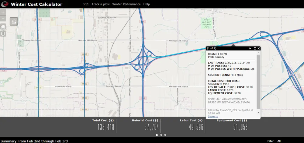
    Keeping the roadways clear during the winter months has become smarter and more transparent at the Iowa Department of Transportation.
  • Savings accrue from on-line from truck screening
    October 18, 2013
    An online truck pre-clearance system is allowing enforcement to be better targeted towards offending vehicles. Utah is the latest US State department of transportation (DOT) to deploy HELP (Heavy Vehicle Electronic License Plate) Inc’s new 360SmartView electronic truck screening and sorting system at vehicle inspection sites to speed up compliance checks. The initial locations will be at Perry on Interstate 15 (I-15), which were the first sites in the state to implement HELP’s PrePass transponder-based v