Trafficware showcases advances in mapping, software

Trafficware’s engineering advances will be on display at ITS America’s Annual meeting this year, showcasing the just-released ATMS.now Version 2.2 that supports the widely popular Google Maps, as well as Microsoft Bing Maps and ESRI (GIS) mapping utilities. As the company points out, while people grow accustomed to convenience with electronics, traffic engineers need similar flexibility. With Version 2.2, engineers select mapping capabilities from an array of product resources versus being limited to a sin
May 1, 2015 Read time: 2 mins
5642 Trafficware’s engineering advances will be on display at ITS America’s Annual meeting this year, showcasing the just-released ATMS.now Version 2.2 that supports the widely popular 1691 Google Maps, as well as 2214 Microsoft Bing Maps and 50 ESRI (GIS) mapping utilities.

As the company points out, while people grow accustomed to convenience with electronics, traffic engineers need similar flexibility. With Version 2.2, engineers select mapping capabilities from an array of product resources versus being limited to a single one. ATMS.now also boasts enhanced analysis tools, implementing the expanded Measures of Effectiveness (MOE) package with updated Purdue Coordination Diagrams, and a convenient ‘one-step’ installation for both client and server applications, shrinking the time needed to install.

Demonstrations of Trafficware’s pioneering MIT and Trafficware patent-based wireless Pod Detection System will be the real centrepiece at the company’s booth. The Pod works by sensing the disturbances in the earth’s magnetic field that occur due to the presence of a car or motorcycle. Algorithms interpret this disruption and characterise it into meaningful and reliable data, creating the best possible data to drive an adaptive algorithm, like in SynchroGreen. The Pod Detection System does not require repeaters, a feature that Trafficware says has become appealing to the marketplace.

Also, released in preparation for ITS America is Version 9.1 of Trafficware’s flagship Synchro plus SimTraffic traffic optimisation and simulation tool, used in more than 90 countries, every state in the United States and every province in Canada.

For more information on companies in this article

Related Content

  • Ensite Power develops bendable backup battery system
    June 13, 2016
    As Vehicle to Infrastructure (V2I) technology proliferates our roadways and transit systems, the need to maintain a reliable power supply grows in importance, argues Pete Johnson of Ensite Power. His argument is that if a utility goes down then whole transportation systems could collapse--snarling traffic, stranding riders and putting people's health at risk. Backup power can alleviate these risks but battery systems are traditionally expensive, unreliable and intrusive, taking up valuable real estate in
  • US MAP-21 legislation reignites detection sensor market
    November 2, 2012
    The latest study by IHS Research estimates detection sensor revenues declined by 4.3 percent in 2011 to US$102.2 million. However, recent events suggest demand for detection sensors, which are used to help optimise traffic flows and reduce roadway congestion, is likely to improve over the near term. The main cause for optimism is the recent and unexpected passage of the MAP-21 act by the US congress. MAP-21 legislation will set aside US$105 billion for improvements to America’s surface transportation infras
  • TomTom and Esri fusion transform urban mobility
    April 28, 2025

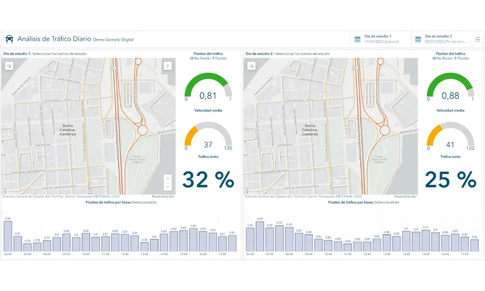
    A collaboration between TomTom and Esri will take centre stage at the upcoming Congress with a session titled "Driving Insights: Unlocking the Power of TomTom Historic Traffic Data in ArcGIS.” Led by industry experts Frans Keijzer from TomTom and Jaime Nieves from Esri Spain, this presentation will showcase how integrating TomTom's historical traffic data with the ArcGIS platform has transformed urban mobility in Gran Canaria, Spain.

  • Florida gets One.network’s lane closure programme
    August 24, 2022
    The project will use proprietary shared road management platform that connects with GPS providers