TomTom and Esri fusion transform urban mobility

April 28, 2025 Read time: 2 mins

A collaboration between TomTom and Esri will take centre stage at the upcoming Congress with a session titled "Driving Insights: Unlocking the Power of TomTom Historic Traffic Data in ArcGIS.” Led by industry experts Frans Keijzer from TomTom and Jaime Nieves from Esri Spain, this presentation will showcase how integrating TomTom's historical traffic data with the ArcGIS platform has transformed urban mobility in Gran Canaria, Spain.

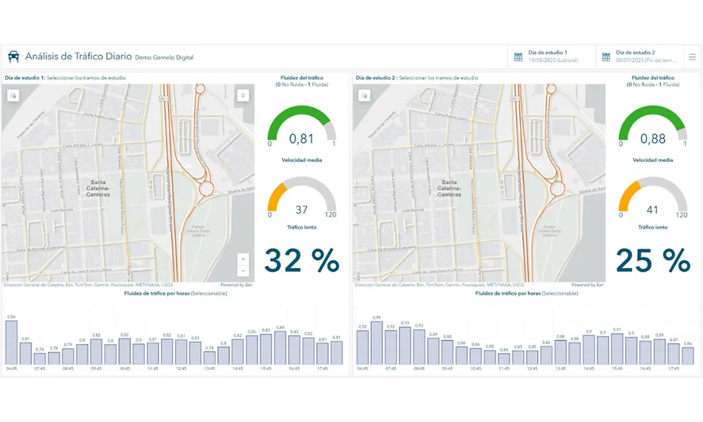
The initiative, spearheaded by Esri Spain and Sagulpa, sought to create a digital twin of the urban area to enhance planning and management. By leveraging TomTom's robust traffic data and using ArcGIS, the team swiftly deployed interactive maps and applications without extensive IT support. Key tools included TomTom Traffic Stats and TomTom Origin-Destination for traffic analysis and ArcGIS Dashboards and ArcGIS Experience Builder for dynamic visualizations.

This session (on Tuesday 20 May 20 from 11.45 to 12.45 in Hall Madrid D) will showcase the significant potential of TomTom Move data when combined with ArcGIS, making it an essential tool for those interested in advancing urban mobility solutions. Attendees will learn about three main applications derived from this initiative: a safety dashboard for monitoring traffic flow, a public transportation and emergency response planning tool, and an event traffic analysis application for managing large-scale events like football matches. These tools provide decision-makers with valuable insights, leading to improved traffic safety and optimised transportation routes.

For more information on companies in this article

Related Content

  • Machine vision takes ITS further than the eye can see
    January 5, 2016
    Vitronic’s John Yalda looks at how machine vision has become an integral part of many ITS deployments and why it complements, rather than replaces, ANPR. New and conventional business concepts like online shopping and mail order business are becoming more established in the cultures of fast-growing economies and increasing the demand for flexibility in the freight transportation and logistics industry. Road transport has become the preferred infrastructure for freight forwarding and several studies predict
  • IntelliDrive, connectivity, safety, mobility and the environment?
    January 30, 2012
    Shelley Row, Director of the ITS Joint Program Office, US Department of Transportation, details the new five-year ITS Strategic Research Plan. Imagine a world where vehicles of all types can talk to each other in order to reduce or eliminate crashes, where vehicles can talk to traffic signals to eliminate unnecessary stops, where travellers can get accurate travel time information about all modes and route options, and where transportation managers have data which allows them to accurately assess multimodal
  • Esri highlights benefits of a state-wide data-rich environment
    September 7, 2020
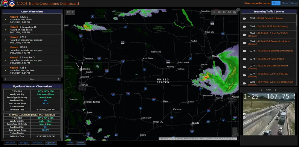
    Walk into virtually any traffic operations centre and you will be confronted by people flipping between different screens and CCTV monitors, and individually viewing a large number of stand-alone applications to try to understand a comprehensive picture of their live traffic, weather, incident, and snow conditions from these disparate sources.
  • Want intelligent transit? Then share data
    March 2, 2022
    How will the US deploy intelligent transit networks that enable connected vehicles? Data sharing is crucial if urban mobility users are to benefit, explains Timothy Menard of Lyt