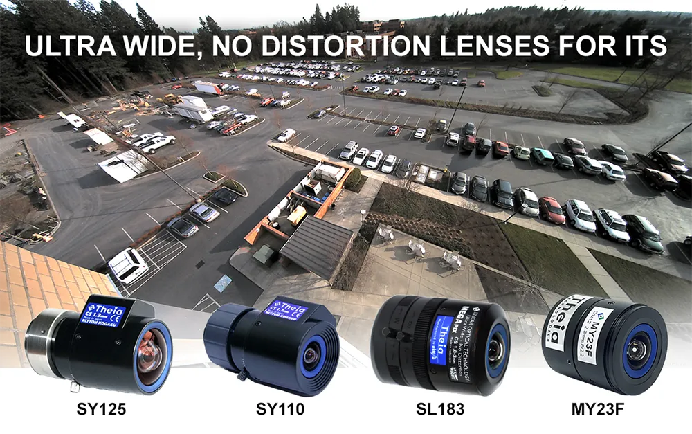
Theia develops innovative distortion-free ultra-wide-angle lenses

Today’s high-resolution cameras have many advantages if they have the right lens for the job. When that includes covering large areas or reducing cost by installing fewer cameras, you need a wide-angle lens. Fisheye style lenses with barrel distortion are routinely used to cover an ultra-wide field of view; however, they create a curved and distorted image which causes significant loss of resolution at the image edges. This presents a variety of issues for ITS applications such as difficulty in identification or recognition of objects and details.
October 26, 2022 Read time: 2 mins


To counter the drawbacks of fisheye-style optics, Theia Technologies has developed a suite of rectilinear lenses offering a different, ultra-wide field of view without the barrel distortion or loss of edge resolution characteristic of fisheye style lenses. Theia achieves this optically, without the use of image correction software or its inherent latency.

The company employs its patented Linear Optical Technology to create a family of multi-megapixel lenses that offer horizontal fields of view up to 135 degrees with very low distortion while improving the resolution at the image edge compared to typical wide-angle lenses.

Applications for Theia’s family of ultra-wide, low distortion lenses include providing great peripheral vision for situational awareness in navigation and remote operation of vehicles and robots used in a variety of ITS applications from logistics to assisted and unmanned vehicles. They capture wide areas at short distances such as in under-vehicle surveillance and shipping container identification, among many other imaging tasks, including applications in close-up applications such as ATMs, card-locked garage entries, and multi-door entryways where both high image detail and wide fields of view are required. Other applications for Theia’s family of ultra-wide, low-distortion lenses include effectively monitoring large areas like parking lots, multi-lane tolling stations, and warehouses.

Choosing the right lens for an application depends on many factors including field of view, required image resolution, multi-spectral capability, image format and mount, among others. To assist in lens selection, Theia offers an image resolution simulator and lens calculator that relates FOV, resolution, and object distance.

Visitors to the Theia website will find it also offers other tools and white papers for a better understanding of its lens technology and selection of the optimal lens for your application.

Content produced in association with Theia Technologies

For more information on companies in this article

Related Content

  • Electronic toll collection: Change is in the air
    November 7, 2024
    Trends in technology plus users’ comfort in adopting new advances indicate that the environment for a new electronic toll collection architecture is evolving. Hal Worrall considers what this might look like
  • Airborne traffic monitoring - the future?
    March 1, 2013
    A new frontier in the quest to monitor road traffic is opening up… but using airborne drones to reduce the jams comes with some thorny issues. Chris Tindall reports. Imagine if you could rely on a system that provided all the data you needed to regulate traffic flow, route vehicles and respond swiftly to emergencies for a fraction of the cost of piloting a helicopter. That system exists, but as engineers and traffic managers start to explore the potential of unmanned aerial vehicles (UAVs) – more commonly k
  • Developing an integrated WIM/ANPR enforcement system
    July 31, 2012
    The weigh in motion market remains especially buoyant and technological development continues to reflect this. Although there are major differences in operating philosophies, particularly between developed and developing countries, both the numbers of countries using Weigh In Motion (WIM) technology and the numbers of systems that they deploy are on the increase.
  • Inertial sensors dramatically improve GNSS for ITS applications
    January 18, 2012
    Phil Harris, Thales UK, on how fused sensor data can significantly enhance GNSS-based positioning systems' performance in urban areas. Global Navigation Satellite System (GNSS)-based positioning is unique among available positioning technology due to its universal coverage and low equipment cost. By measuring the distances between an unknown position (such as a vehicle), and at least three known positions (GPS satellites), the unknown position can be calculated in three dimensions (latitude, longitude, and