StreetLight shines light on transport in underserved communities

Toolkit aims to help better serve disadvantaged urban areas with transport
By David Arminas January 15, 2025 Read time: 1 min
Toolkit offers examples from the US

StreetLight Data, a transportation data analyst based in the US, has produced a guide for prioritising public transportation to better serve disadvantaged urban areas.

The company analyses data concerning all areas of transportation, such as congestion, traffic volumes, intersection activity and freight movements to understand how people, goods and services move around cities.

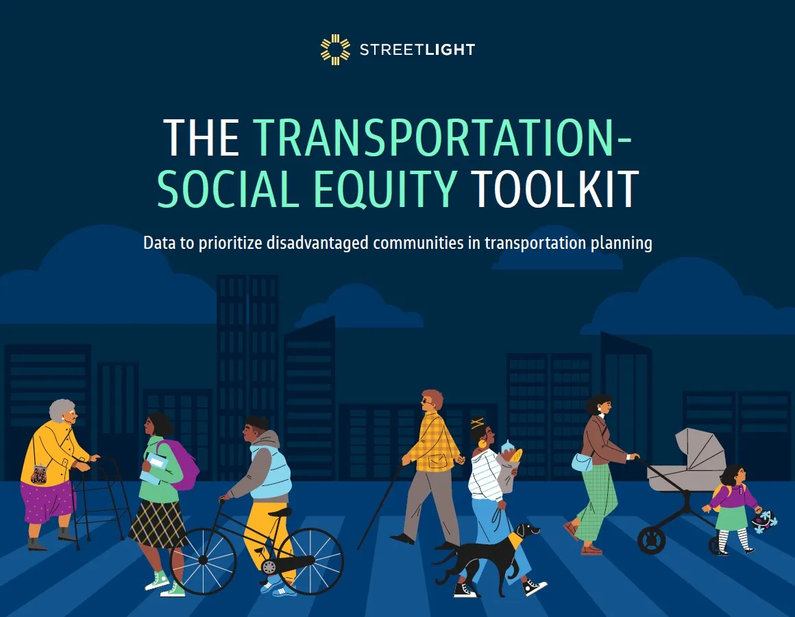
StreetLight’s Transportation Social Equity Toolkit offers tools for measuring equity in transportation. It highlights two examples of equity planning in action, demonstrating how new datasets can help measure human impact. 

One example is the demographics of travellers across a bridge in Nashville. The other is around disproportionate truck travel originating from the Port of Norfolk through disadvantaged communities.  

StreetLight applies proprietary machine-learning algorithms and its data processing resources to measure travel patterns of vehicles, bicycles and pedestrians. The results are accessible as analytics on the StreetLight InSight SaaS platform.

The company was acquired by Jacobs as a wholly-owned subsidiary in February 2022.

Related Content

  • Sprawl spreads the costs and confines the benefits
    June 8, 2015
    A new report says car-centric planning leads to inefficient cities and divided communities as lead author Todd Litman explains. Between 1950 and 2050 the human population will have approximately quadrupled and shifted from 80% rural to nearly 80% urban; by the middle of this century the United Nations predicts an additional 2.2 billion urban residents in developing countries than there are today. How these cities grow has huge economic, social and environmental impacts and implementing proper policies can c
  • Hard data supports traffic monitoring
    April 30, 2024
    A collaboration between AGD Systems and North Line Canada has demonstrated the value of traffic experts putting their heads together to improve pedestrian safety
  • Inland waterways can de-stress city roads
    March 17, 2016
    David Crawford looks at an under-utilised solution for city-centre deliveries. The use of rivers and canals for moving freight is a well-established mode in North Western Europe, where it can take advantage of an intensively developed network. In the Netherlands, 40% of the total volume of goods transported internally goes by water; the figure for Flanders (the neighbouring Dutch-speaking region of Belgium) is 11.5%.