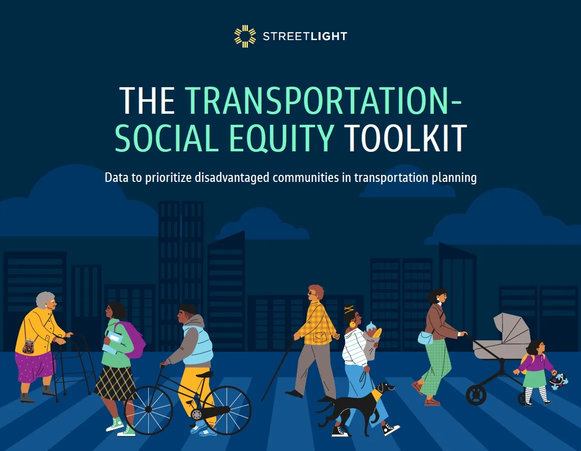
StreetLight shines light on transport in underserved communities

Toolkit aims to help better serve disadvantaged urban areas with transport
By David Arminas January 15, 2025 Read time: 1 min
Toolkit offers examples from the US

StreetLight Data, a transportation data analyst based in the US, has produced a guide for prioritising public transportation to better serve disadvantaged urban areas.

The company analyses data concerning all areas of transportation, such as congestion, traffic volumes, intersection activity and freight movements to understand how people, goods and services move around cities.

StreetLight’s Transportation Social Equity Toolkit offers tools for measuring equity in transportation. It highlights two examples of equity planning in action, demonstrating how new datasets can help measure human impact. 

One example is the demographics of travellers across a bridge in Nashville. The other is around disproportionate truck travel originating from the Port of Norfolk through disadvantaged communities.  

StreetLight applies proprietary machine-learning algorithms and its data processing resources to measure travel patterns of vehicles, bicycles and pedestrians. The results are accessible as analytics on the StreetLight InSight SaaS platform.

The company was acquired by Jacobs as a wholly-owned subsidiary in February 2022.

Related Content

  • PTV Group acquires Conundra
    December 13, 2022
    Route planning specialists combine to scale up logistics division as e-commerce grows
  • Vehicle data services launched for business and government
    May 6, 2015
    A new analytics platform and two associated services for measuring traffic and people movement have been launched by the vehicle data specialist Inrix. Inrix Insights is the first system of software to provide business and government with vehicle data for transportation and urban planning, retail site selection and measurement of advertising and marketing campaigns, the company claims. The platform leverages real time GPS data from a growing global network of over 250 million vehicles and con
  • The role of GIS in climate change resiliency
    May 29, 2014
    Climate change will pose global and local challenges and that includes risks to the transportation infrastructure. Climate change adaptation and resiliency has captured the attention of the transportation community for some time now. Because transportation infrastructure is often designed to last for 30, 50, or 100 years or even longer, transportation professionals are concerned not only about the impact on our existing investments, but also how to design more durable transportation systems for the future
  • Pittsburgh brings MaaS to low-income users
    July 30, 2021
    Users can access service at 50 new mobility hubs