
smartmicro and Nordsys convert radar data into V2X messages

smartmicro and Nordsys, both located in Braunschweig, Germany, are showing a brand-new system combining traffic management radar and V2X communication.
March 20, 2018 Read time: 2 mins
Maik Schlote from Nordsys and smartmicro's Daniel Reitenauer

In future, a mix of connected (using V2X) and traditional vehicles will share the roads. Connected vehicles will communicate among each other and broadcast important information, improving traffic flow and safety.

Nordsys and smartmicro are now introducing a solution that generates V2X messages to be received by connected vehicles, based on real-time data, acquired by fixed infrastructure traffic management radar sensors.

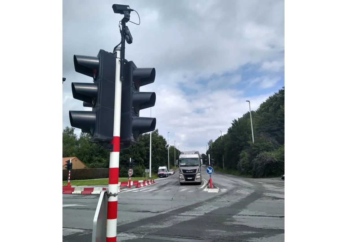
Lane specific data, provided by smartmicro`s 3D/UHD traffic management radar, are converted into appropriate WGS84 standard coordinates, including for speed and heading, for all objects, from pedestrians to heavy trucks. The system then broadcasts corresponding V2X messages which, in this case are actually Infrastructure-2-Vehicle (I2V) messages.

This solution covers up to eight lanes and features a detection range of up to 300 metres. At a typical fully equipped intersection, connected vehicles using the received V2X messages can ‘see’ around the corner into other legs of the intersection. They can pick up vulnerable road users, such as cyclists and pedestrians, or non V2X equipped vehicles, before they can be detected by traditional on-board sensors like cameras, lidar or the vehicle driver.

As V2X communication is rated as one of the key drivers for connected, autonomously driving vehicles, this system enlarges the base of V2X participants where even non-connected vehicles, bicycles and pedestrians are covered.

For more information on companies in this article

Related Content

  • The search for travel management's Holy Grail
    October 10, 2018
    Combining accurate network estimates and forecasts with real-time information is the way to deal with traffic hot spots. Alan Dron looks at products which aim to achieve just that. Traffic management authorities have for years been trying to get ahead of the game. Instead of reacting to situations, they want to be able to head them off as they occur – or even before they happen. Finding that Holy Grail of successfully anticipating problems will save time, tension and tempers on city streets. Two new system
  • Smart traffic solutions by Quarterhill
    April 24, 2025


    Quarterhill is presenting a lineup of Doppler radar and Lidar-based detection technologies that promise to revolutionise traffic flow optimisation and enhance pedestrian safety. These state-of-the-art products provide innovative solutions for loop replacement, traffic counting/classification, traffic calming, and bicycle counting.

  • Calculating the cost of stellar solutions
    August 10, 2016
    The increasing availability and accuracy of global navigation satellite system (GNSS) is opening up low-cost options in many areas as David Crawford finds out. Boosting commercialisation of European global navigation satellite system (EGNSS) technologies for ITS initially depends heavily on demonstrating competitive and cost/benefit advantages obtainable from the deployment of EGNOS (the current European Geostationary Navigation Overlay Service), and ultimately the EU’s Galileo constellation (see box). So,
  • UK government to investigate best practice for travel information
    January 30, 2012
    The UK Government has been advised by an internal inquiry that it should investigate examples of best practice in travel information services. So where might it look? Jon Masters reports. Publication of a UK Government report on road congestion this year has highlighted a need to look beyond home borders when searching out answers to pressing problems. With regard to issues of travel information in particular, UK transport professionals would do well to look overseas for solutions they can emulate.