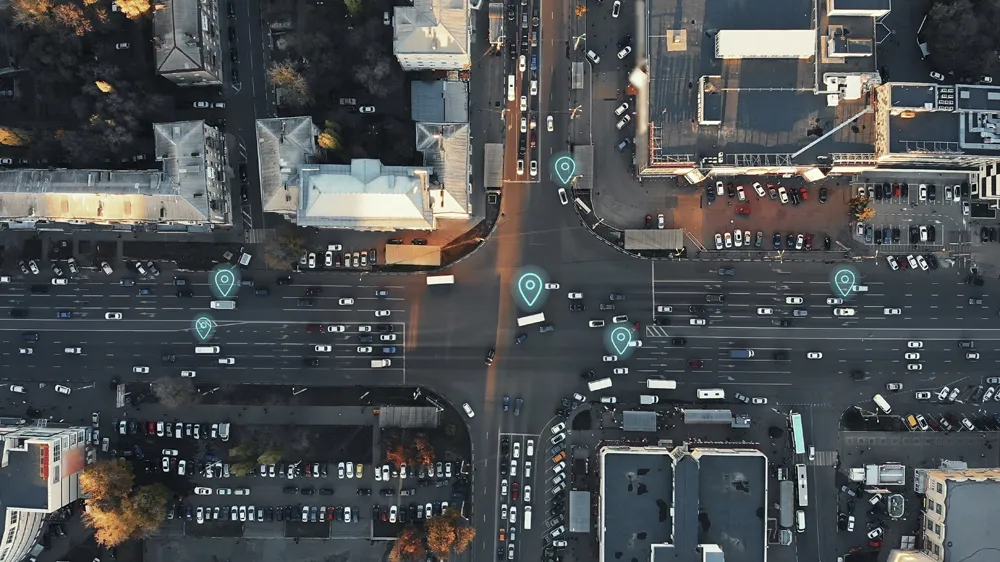
Smart road layout with Lindsay’s Road Zipper

Lindsay Transportation Solutions is focusing on its Road Zipper system for ITS applications. This moveable barrier system quickly reconfigures the road to mitigate congestion, while providing positive barrier protection between opposing lanes of traffic.
October 10, 2016 Read time: 2 mins
Chris Sanders of Lindsay showcasing the Road Zipper system

7613 Lindsay Transportation Solutions is focusing on its Road Zipper system for ITS applications. This moveable barrier system quickly reconfigures the road to mitigate congestion, while providing positive barrier protection between opposing lanes of traffic. Road Zipper can be used to create flexible bus rapid transit (BRT) corridors that can be returned to traffic during non-commute periods to maximise the full use of the roadway. BRT corridors allow agencies to deliver fast, reliable, cost-effective transportation services to move people in, out, and around urban centres.

Automated decisions regarding when to change lane patterns can decrease congestion to a greater degree than reconfiguring the road based solely on a structured time schedule. Lindsay’s ITS partners collect cell phone and microwave radar data to analyse traffic patterns in real time.

Once this data is compared with historical patterns or sitespecific algorithms, the Road Zipper moveable barrier is used to make changes to the road configuration.

When considered in the planning stages of new road construction, Lindsay Transportation Solutions says the Road Zipper provides additional important options for future flexibility as the number of road users constantly increases.

This is because the greatest challenge in reconfiguring an existing roadway into a managed lanes facility is often the permanent centre median barrier. This inflexible divider bifurcates the roadway and narrows the possibilities into a “left side, right side” mentality. However, roads that are designed without any permanent concrete barriers are ultimately flexible and reconfigurable.

Moveable medians can adjust traffic flow quickly and safely, and the options increase exponentially with two or more moveable walls. Vehicles can be separated by direction, passenger count, vehicle type, speed, payment and even autonomous capability to move more people safely through a heavily travelled corridor.

For more information on companies in this article

Related Content

  • Don’t forget security threat, says Econolite
    May 6, 2020
    A new level of communication is helping deliver on the promise of Vision Zero and a more sustainable future. But amid the promise, Econolite’s Sunny Chakravarty suggests we need to be mindful of the potential downsides in an age of mass connectivity
  • Video analytics enhances urban rail safety
    December 16, 2016
    David Crawford explores some promising innovations for North American commuters. North America is experiencing a surge in commuter rail and metro development. The US now has 75 light rail and metro networks in operation; and California, in particular, is actively exploring ways of developing the state’s existing passenger rail operations into a fully integrated system.
  • Preparing for connected vehicle technology challenge
    December 14, 2012
    A decision on mandating connected vehicle technology is expected in 2013, when associated political issues such as privacy are likely to come to the fore. Pete Goldin investigates industry’s preparations for the challenge. Once in a while new technology comes along with the power to revolutionise the way we live our lives. Connected vehicle technology could be such a game changer. If mandated in the United States, it could quickly become the status quo for transportation in the US, and such a disruptive cha
  • Calgary selects Inrix roadway analytics for real-time road performance analysis
    May 17, 2017
    The City of Calgary, Canada, has selected Inrix to supply its Roadway Analytics to help the city manage its road network with access to on-demand data to analyse, visualise and understand performance without the need for additional technology investments. The city can also identify and compare locations that are operating sub-optimally to help prioritise road improvement efforts. In addition, Roadway Analytics allows city planners to perform before and after studies to quantify and communicate the impact o