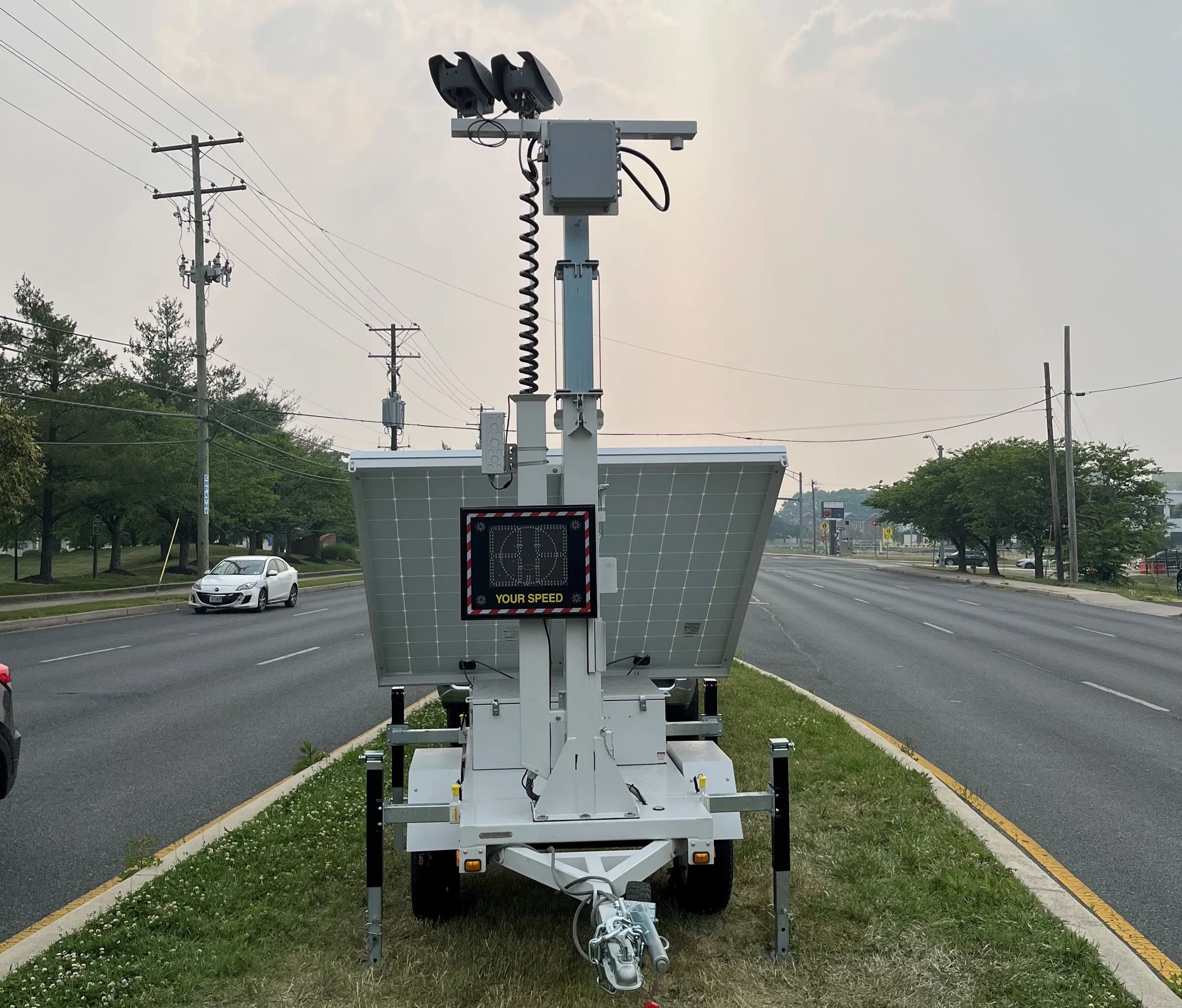
SES America has developed a new, more efficient way to display accurate travel times by collecting data directly from travel time providers such as Waze, TomTom or Google, eliminating the need to rely on a vast network of sensors deployed across a road network.
"This is a new concept," said Philippe Perut, president, SES America. "Traditionally, large dynamic signs need to be connected to a larger system. We have a standalone sign that can operate independently. There's less risk and less investment for th
June 14, 2016
Read time: 2 mins

"This is a new concept," said Philippe Perut, president, SES America. "Traditionally, large dynamic signs need to be connected to a larger system. We have a standalone sign that can operate independently. There's less risk and less investment for the city."
Relying on travel time providers allows secondary and rural roads to be covered as well as major arteries because times are typically calculated by users travelling over multiple routes rather than by vehicles passing pre-deployed sensors.
The DMS Connect solution is solar powered and can be deployed without software or roadside equipment.
Communication is done through cellular, fibre or another communication network, and the sign can also be turned into a DMS controller connected to a traffic management center (TMC) via NTCIP and display other messages sent by the TMC. "This is perfect for cities that don't want to invest in a large system," Perut said.
"It can cost hundreds of thousands of dollars to deploy a traditional system reliant on sensors. We can get that cost down to tens of thousands of dollars for the same coverage."
SES America is looking to find partners and transportation agencies to conduct trials of the technology in several metropolitan areas.


