Septentrio demos AV localisation tech

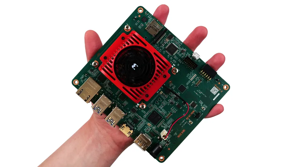
Septentrio has provided GPS/global navigation satellite system (GNSS) technology for computer vision supplier Artisense’s Visual Inertial Navigation System (VINS).
January 23, 2020 Read time: 1 min


Septentrio says the GNSS technology provides centimetre-level positioning to the VINS system with the accuracy required for lane-level manoeuvring and Vehicle to Vehicle warning systems. Cameras and inertial sensors continue localisation as the vehicle moves into tunnels or parking garages with no line of sight to GNNS satellites, the company adds.

The VINS is expected to combine computer vision, inertial sensors and GNSS measurements to deliver 3D positioning and orientation information in any environment, even indoors.

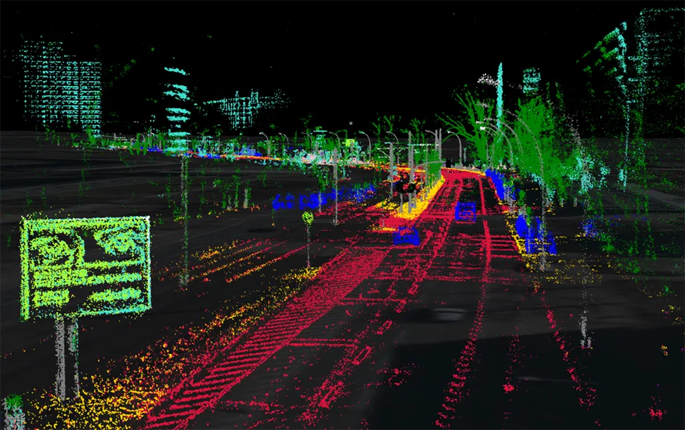
A demonstration at Auto.ai in Berlin offered rides around the German capital in a car featuring VINS technology. One screen inside the car continuously displayed its location as the system continued localisation in all locations including tunnels and parking garages. The second screen featured a real-time 3D point-cloud reconstruction of the car’s surroundings.

Related Content

  • Xilinx targets smart city vision AI
    April 21, 2021
    Xilinx and Canonical are also providing Ubuntu Linux support for AI developers
  • Intelligent parking guidance relieves congestion, reduces costs
    July 24, 2012
    O R Tambo International Airport, near the city of Johannesburg, is the largest airport in Africa. It serves as the primary airport for domestic and international travel to/from South Africa and is one of 10 airports operated by Airports Company South Africa (ACSA). This airport places a massive demand on road infrastructure and parking facilities since a majority of travellers get to the airport by motor vehicle. The demand for parking left many people searching for a parking space for eight minutes or more
  • Sick launches tunnel safety pollution monitoring
    December 2, 2015
    Sick’s tunnel monitoring technology provides early warning of unsafe visibility and pollution conditions inside road and rail tunnels and ensure the safety of vehicle occupants and tunnel staff. Its VISIC100SF tunnel environment monitor combines visibility measurements, with a range of up to 15km, CO detection of 0- 300ppm (≤3% accuracy) and NO detection of 0-100ppm (≤3% accuracy).
  • Nexcom’s VMC 3000 offers all-in-one solution
    September 26, 2013
    Nexcom’s VMC 3000 vehicle mounted computer is being used as an all-in-one system to manage changeable working conditions to optimise the logistics service of a company supplying mines in the Appalachian Mountains. Through the use of Red Dog Logistic’s software, VMC 3000 offers a comprehensive tracking system. With orders, vehicle details, traffic and weather information gathered and shared in real-time among drivers and dispatchers, the mining logistics service can deliver required material to mining site