Septentrio demos AV localisation tech

Septentrio has provided GPS/global navigation satellite system (GNSS) technology for computer vision supplier Artisense’s Visual Inertial Navigation System (VINS).
January 23, 2020 Read time: 1 min


Septentrio says the GNSS technology provides centimetre-level positioning to the VINS system with the accuracy required for lane-level manoeuvring and Vehicle to Vehicle warning systems. Cameras and inertial sensors continue localisation as the vehicle moves into tunnels or parking garages with no line of sight to GNNS satellites, the company adds.

The VINS is expected to combine computer vision, inertial sensors and GNSS measurements to deliver 3D positioning and orientation information in any environment, even indoors.

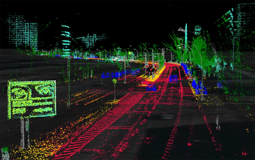
A demonstration at Auto.ai in Berlin offered rides around the German capital in a car featuring VINS technology. One screen inside the car continuously displayed its location as the system continued localisation in all locations including tunnels and parking garages. The second screen featured a real-time 3D point-cloud reconstruction of the car’s surroundings.

Related Content

  • Cepton Lidars deployed in Austria
    February 26, 2021
    Partnership with local test alliance ALP.Lab will create real-life, complex traffic data
  • Can GNSS solve the tolling world’s woes?
    December 5, 2013
    Kapsch’s Arno Klamminger and Wolfgang Fleischer consider the need for an agnostic approach to technology for charging and tolling. Periodically, given the march of technology, it is worth pausing and taking stock of where we have got to and where we go next. Such reflections are necessary if we are to take full advantage of what we have at our disposal and, potentially, avoid decisions which push us down technological culs de sac. A look at the use of Global Navigation Satellite System (GNSS)-based technol
  • C/AVs could mean cheaper roads
    October 28, 2019
    The safety benefits of C/AVs have long been promoted – but research suggests they should also contribute to cheaper roads. David Crawford investigates the potential benefits in infrastructure costs Building narrower freeway lanes to accommodate the enhanced route-tracking capabilities of connected and autonomous vehicles (C/AVs), running in platoon conditions, could result in cost savings of £0.5 million (€0.56 million or US$6.5 million) for every km of road length built. Such benefits could be secur
  • Continental automates parking with 360 degree camera view
    November 5, 2015
    Automotive supplier Continental has developed an app that uses surround view camera technology to provide automated parking. Its prototype vehicle has four fisheye cameras – one in the front grille, another at the rear and one in each side mirror. Each camera has a viewing angle of more than 180° to provide a full 360° view all-round the vehicle, which is displayed on a touch screen inside the car together with vacant parking spaces identified as being wide enough. The driver first touches the image