Septentrio demos AV localisation tech

Septentrio has provided GPS/global navigation satellite system (GNSS) technology for computer vision supplier Artisense’s Visual Inertial Navigation System (VINS).
January 23, 2020 Read time: 1 min


Septentrio says the GNSS technology provides centimetre-level positioning to the VINS system with the accuracy required for lane-level manoeuvring and Vehicle to Vehicle warning systems. Cameras and inertial sensors continue localisation as the vehicle moves into tunnels or parking garages with no line of sight to GNNS satellites, the company adds.

The VINS is expected to combine computer vision, inertial sensors and GNSS measurements to deliver 3D positioning and orientation information in any environment, even indoors.

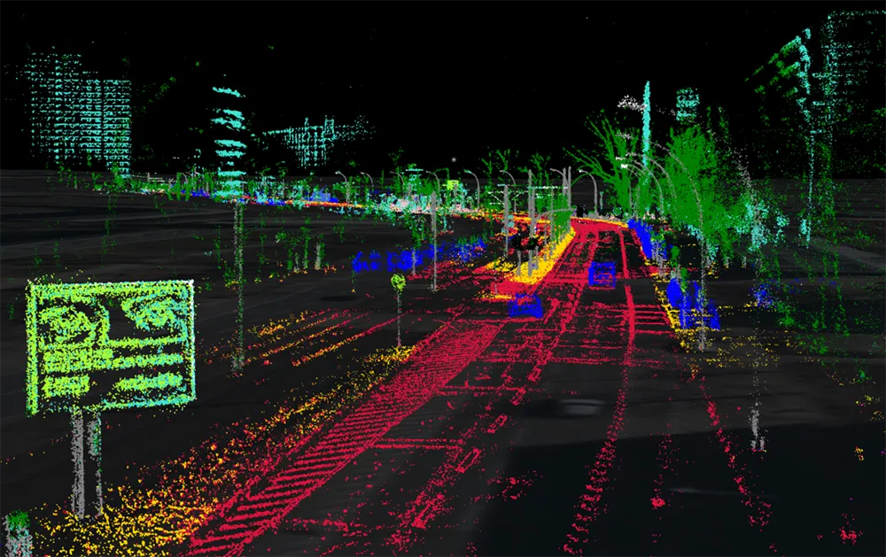
A demonstration at Auto.ai in Berlin offered rides around the German capital in a car featuring VINS technology. One screen inside the car continuously displayed its location as the system continued localisation in all locations including tunnels and parking garages. The second screen featured a real-time 3D point-cloud reconstruction of the car’s surroundings.

Related Content

  • Development of cooperative driving applications for work zones
    July 17, 2012
    The German AKTIV project is researching several cooperative driving applications for use in work zones. PTV's Michael Ortgiese details progress. The steep increases in traffic volumes predicted back in the early 1990s have unfortunately been proven to be more than accurate. In Germany, the AKTIV project continues to look into cooperative technologies' potential to reduce the impact of those increased traffic volumes and keep traffic moving despite limitations in infrastructure capacity.
  • Modernising India's bus travel
    August 29, 2012
    Award-winning ITS initiatives are promising modernisation of bus travel as a key part of development plans for cities of the Indian state of Karnataka. The Indian state of Karnataka is poised to launch the next stage of a major rollout of ITS technology on its bus network following the August 2012 go-live of an award-winning passenger information system. The Karnataka State Road Transport Corporation (KSRTC), which is owned by the state government
  • Pioneer develops low cost 3D-LIDAR for autonomous cars
    September 7, 2015
    Drawing on its experience with optical disc technologies consumer electronics giant, Pioneer Corporation is developing a 3D-LIDAR (light detection and ranging) compact, high performance low-cost sensor for autonomous vehicles. The company has completed trial manufacture of the sensor and will begin in-car trials in 2016. During the in-car trials, Pioneer will launch advanced map creation using mapping vehicles fitted with 3D-LiDAR, with Increment P Corporation, its map creation subsidiary. In the near fu
  • VuWall and Samsung tech for control rooms
    March 11, 2021
    VuWall says VuScape can power up to 96 displays in transport control environments