Septentrio demos AV localisation tech

Septentrio has provided GPS/global navigation satellite system (GNSS) technology for computer vision supplier Artisense’s Visual Inertial Navigation System (VINS).
January 23, 2020 Read time: 1 min


Septentrio says the GNSS technology provides centimetre-level positioning to the VINS system with the accuracy required for lane-level manoeuvring and Vehicle to Vehicle warning systems. Cameras and inertial sensors continue localisation as the vehicle moves into tunnels or parking garages with no line of sight to GNNS satellites, the company adds.

The VINS is expected to combine computer vision, inertial sensors and GNSS measurements to deliver 3D positioning and orientation information in any environment, even indoors.

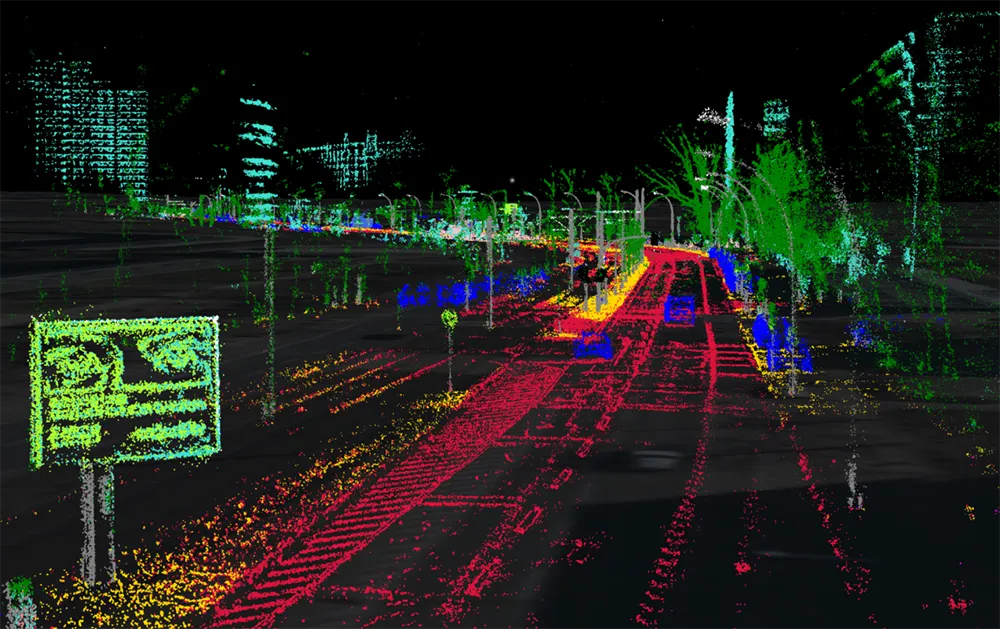
A demonstration at Auto.ai in Berlin offered rides around the German capital in a car featuring VINS technology. One screen inside the car continuously displayed its location as the system continued localisation in all locations including tunnels and parking garages. The second screen featured a real-time 3D point-cloud reconstruction of the car’s surroundings.

Related Content

  • Toyota demos HD maps for Tokyo AVs
    March 31, 2020
    Toyota's Research Institute-Advanced Development has demonstrated high definition (HD) maps for autonomous vehicles (AVs) for surface roads in Japan with a relative accuracy of less than 50cm.
  • IRD: from the ground up
    September 16, 2021
    IRD is undertaking a comprehensive review of its road safety and monitoring solutions. A series of initiatives is building on the company’s in-pavement expertise, bringing considerable additional value for the customer to the traditional range of products while complementing these with wholly new technologies
  • New name offers new solutions
    November 26, 2013
    Pete Goldin examines Nokia’s rationale for combining its location services, digital mapping and other capabilities under the HERE brand. While it has divested itself of its mobile phone business to Microsoft, Nokia has kept hold of its HERE business unit and brand which incorporates the company’s location services with digital mapping and other capabilities. The creation of HERE is much more than rebranding as its services are heading off the map and into the cloud. “HERE offers the first location cloud
  • Test confirms Galileo increases accuracy of location based services
    May 28, 2014
    Tests conducted by Rx Networks and the European GNSS Agency (GSA) confirm that, when used in addition to GPS and/or GLONASS, Galileo significantly improves the accuracy of location-based services when used in challenging environments. The GSA and Rx Networks, a leading mobile location technology and services company, announced the results of tests conducted by the company measuring the performance of Galileo when used in various combinations with GPS and GLONASS.