Septentrio demos AV localisation tech

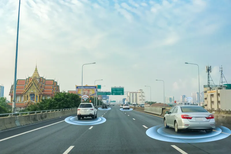
Septentrio has provided GPS/global navigation satellite system (GNSS) technology for computer vision supplier Artisense’s Visual Inertial Navigation System (VINS).
January 23, 2020 Read time: 1 min


Septentrio says the GNSS technology provides centimetre-level positioning to the VINS system with the accuracy required for lane-level manoeuvring and Vehicle to Vehicle warning systems. Cameras and inertial sensors continue localisation as the vehicle moves into tunnels or parking garages with no line of sight to GNNS satellites, the company adds.

The VINS is expected to combine computer vision, inertial sensors and GNSS measurements to deliver 3D positioning and orientation information in any environment, even indoors.

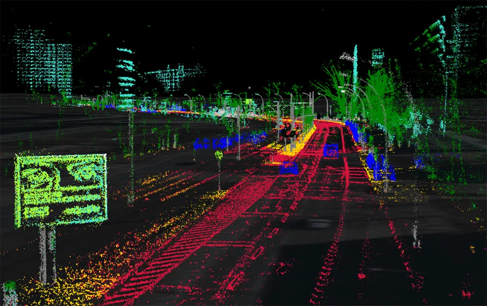
A demonstration at Auto.ai in Berlin offered rides around the German capital in a car featuring VINS technology. One screen inside the car continuously displayed its location as the system continued localisation in all locations including tunnels and parking garages. The second screen featured a real-time 3D point-cloud reconstruction of the car’s surroundings.

Related Content

  • Ford invests in next-generation driver assist technology
    November 4, 2016
    In addition to the driver assistance systems already in use on its card, new technology being developed by Ford includes cross-traffic alert with braking technology to help reduce parking stress by detecting people and objects about to pass behind the vehicle, providing a warning to the driver and then automatically braking if the driver does not respond. Rear wide-view camera, on the in-car display, will offer an alternative wide-angle view of the rear of the vehicle. Enhanced active park assist will paral
  • Airborne traffic monitoring - the future?
    March 1, 2013
    A new frontier in the quest to monitor road traffic is opening up… but using airborne drones to reduce the jams comes with some thorny issues. Chris Tindall reports. Imagine if you could rely on a system that provided all the data you needed to regulate traffic flow, route vehicles and respond swiftly to emergencies for a fraction of the cost of piloting a helicopter. That system exists, but as engineers and traffic managers start to explore the potential of unmanned aerial vehicles (UAVs) – more commonly k
  • Debating road user charging systems
    January 26, 2012
    Are pre-launch trials of charging systems the way to improve public acceptance? Or is the real key a more robust political attitude? Here, leading system suppliers discuss the issue. The use of distance-based Road User Charging (RUC) is now well established, at least for heavy goods vehicles on strategic roads. However demand management for all vehicles, whether a distance-based charge or some form of cordon scheme, has yet to make significant progress. This is in spite of the logic and equity of RUC being
  • NVIDIA to buy AV mapper DeepMap
    June 28, 2021
    DeepMap tech will bolster NVIDIA Drive software platform's localisation capabilities