Septentrio demos AV localisation tech

Septentrio has provided GPS/global navigation satellite system (GNSS) technology for computer vision supplier Artisense’s Visual Inertial Navigation System (VINS).
January 23, 2020 Read time: 1 min


Septentrio says the GNSS technology provides centimetre-level positioning to the VINS system with the accuracy required for lane-level manoeuvring and Vehicle to Vehicle warning systems. Cameras and inertial sensors continue localisation as the vehicle moves into tunnels or parking garages with no line of sight to GNNS satellites, the company adds.

The VINS is expected to combine computer vision, inertial sensors and GNSS measurements to deliver 3D positioning and orientation information in any environment, even indoors.

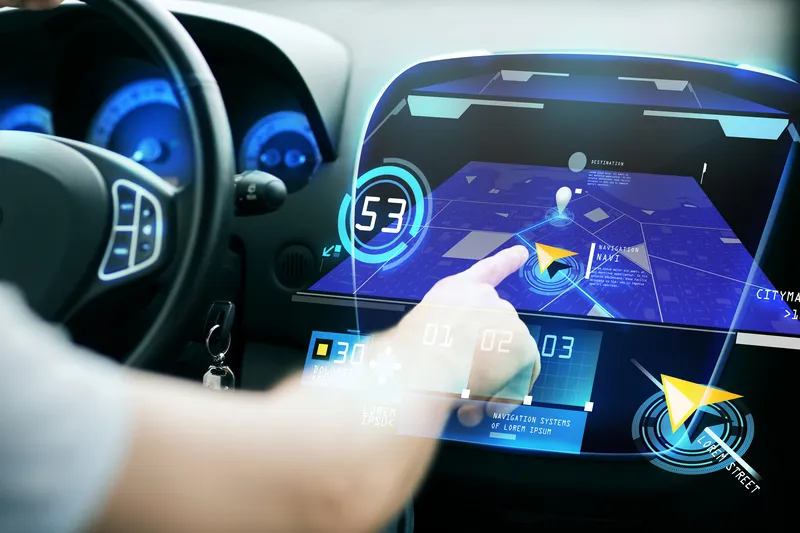
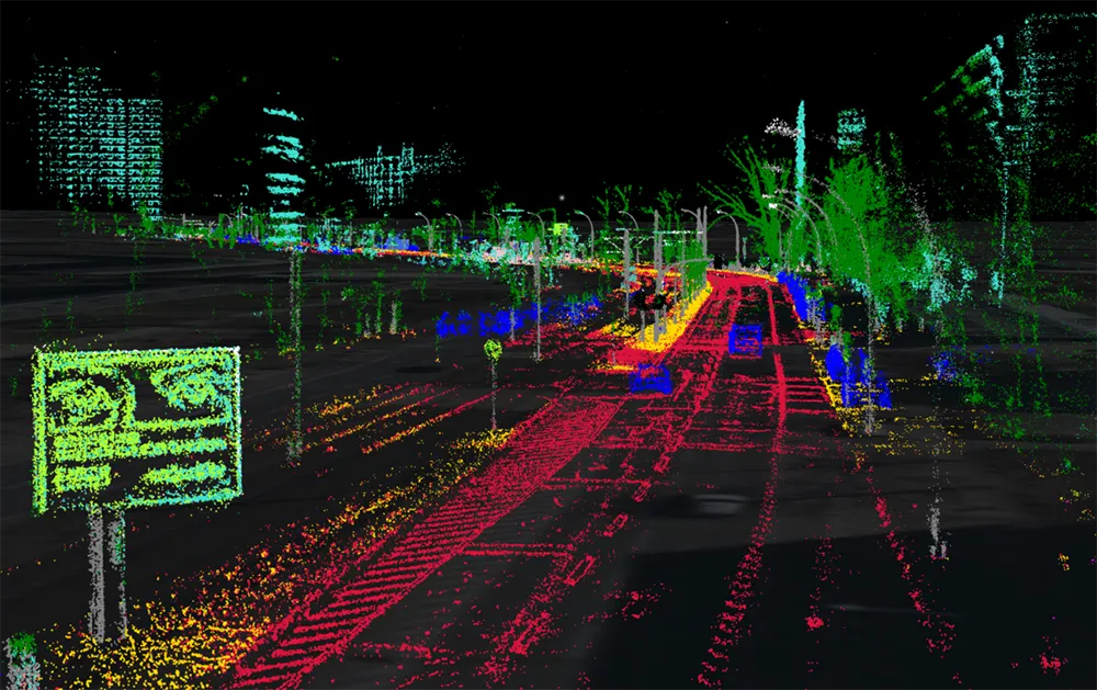
A demonstration at Auto.ai in Berlin offered rides around the German capital in a car featuring VINS technology. One screen inside the car continuously displayed its location as the system continued localisation in all locations including tunnels and parking garages. The second screen featured a real-time 3D point-cloud reconstruction of the car’s surroundings.

Related Content

  • Xona takes next step to expand
    August 24, 2022
    Successful new funding round will accelerate satellite project for navigation technologies
  • Preventing connected vehicles creating disconnected drivers
    November 12, 2015
    Advanced driver assistance systems (ADAS) are evolving at a rapid pace – but drivers’ ability to cope with them is not and at some point the mismatch must be addressed. Probably the biggest challenge the transportation industry has ever faced.” That is how Dr Bryan Reimer of Massachusetts Institute of Technology AgeLab describes the challenges posed by semi-autonomous vehicles.
  • Vehicular networking architecture for local road weather services
    August 19, 2015
    The Finnish Meteorological Institute is currently testing two-way delivery of local weather data as Timo Sukuvaara explains. Road weather information is one of the key ways in which ITS can help reduce traffic accidents and fatalities – which is why the Finnish Meteorological Institute (FMI) has long provided road weather services. Now, the CoMoSeF (Cooperative Mobility Services of the Future) project has been developing communication methodologies to deliver road weather services directly to vehicles and g
  • Flir boosts traffic flow with TrafiBot AI camera
    May 13, 2024
    It uses two proprietary AI models developed from millions of Flir-captured images