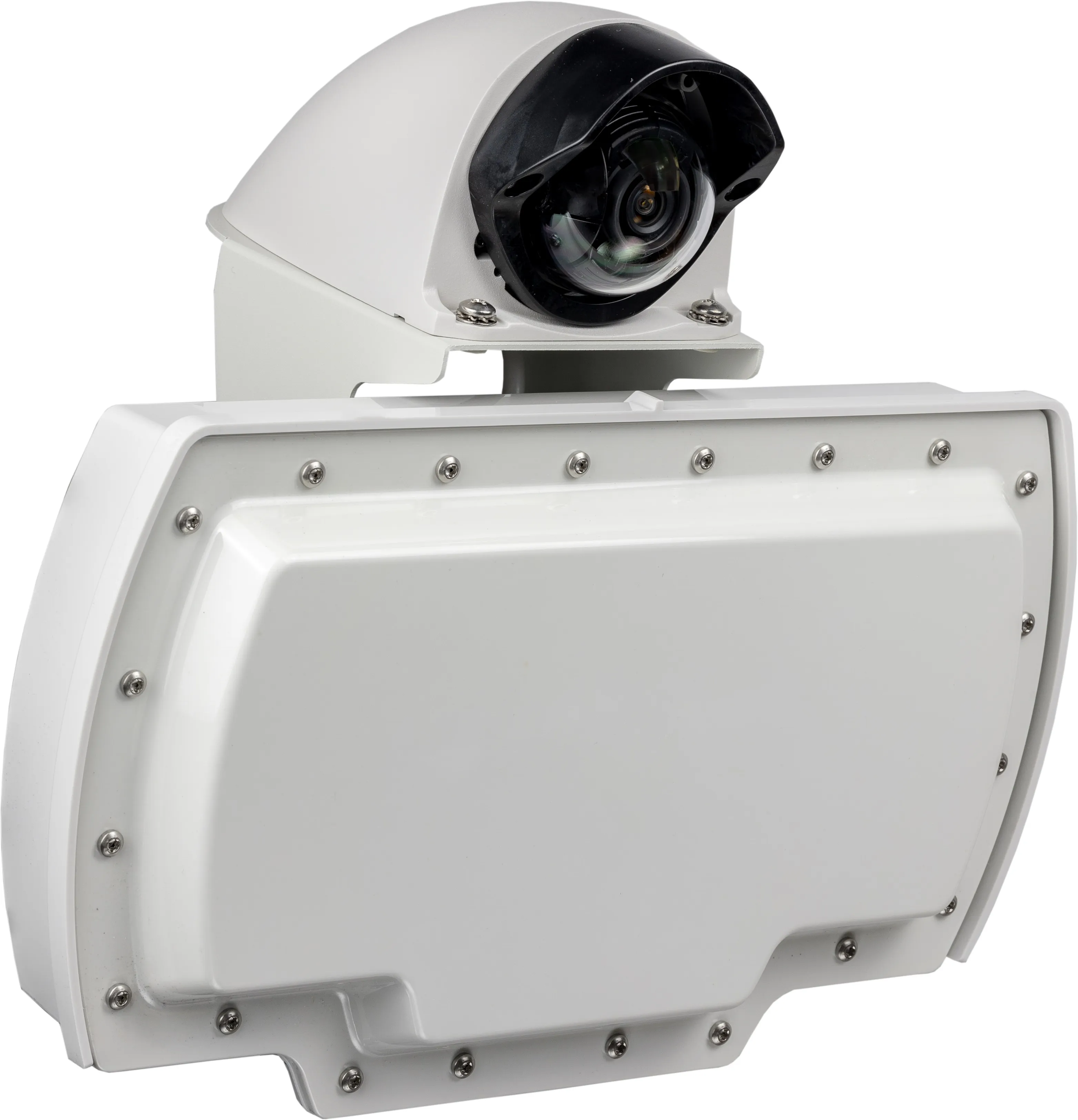
Sensys Networks launches SensTraffic data platform

Sensys Networks will use ITS America 2016 San Jose to launch SensTraffic, the company’s new traffic data platform. In addition to traffic counts, the platform provides a variety of data modules for travel time, origin/destination, high-resolution performance measures, on-demand signal timing data, bicycle counts and complete system diagnostics. The new platform has already proven itself. To help traffic flow efficiently across The Golden Gate Bridge, one of the most heavily trafficked corridors in the Bay
June 3, 2016 Read time: 1 min
119 Sensys Networks will use ITS America 2016 San Jose to launch SensTraffic, the company’s new traffic data platform. In addition to traffic counts, the platform provides a variety of data modules for travel time, origin/destination, high-resolution performance measures, on-demand signal timing data, bicycle counts and complete system diagnostics.

The new platform has already proven itself. To help traffic flow efficiently across The Golden Gate Bridge, one of the most heavily trafficked corridors in the Bay Area, the Golden Gate Bridge Highway & Transportation District selected Sensys Networks to get accurate real-time traffic counts on a per-lane basis. The agency also needed detailed monitoring and data logging capabilities to feed displays, trigger traffic alarms and provide monthly reports. The data is supplied through Sensys Networks’ SensTraffic data platform service.

Related Content

  • Sensys says RTMS Echo brings 12 lanes into view
    December 11, 2023
    Radar solution can be configured with a computer, tablet or smartphone
  • Measuring vehicle lengths with a single loop - promising results
    July 27, 2012
    District 7 of Caltrans has been conducting trials to see whether the use of a single inductive loop to measure vehicle lengths and so identify heavy trucks is feasible. So far, the results have been very promising, according to Lead Transportation Engineer Steve Malkson. Between them, the adjoining ports of Los Angeles and Long Beach, the US's two biggest, cover some 10,700 acres (43km2) and 68 miles (109km) of waterfront.
  • Machine vision’s transport offerings move on apace
    June 30, 2016
    Colin Sowman considers some of the latest advances in camera technology and transport-related vision technology applications. Vision technology in the transportation sector is moving apace as technical developments on both the hardware and software sides combine to make cameras more multifunctional with a single digital camera now able to cover a multitude of tasks.
  • San Francisco plans express lane network across Bay Area
    February 25, 2015
    Colin Sowman looks at plans to convert 240km (150 miles) of HOV/car pool lanes. While some authorities have debated the conversion of high occupancy vehicle lanes (HOV) into express or managed lanes allowing toll paying single-occupant vehicles to avoid congestion, San Francisco’s Bay Area Metropolitan Transportation Commission (MTC) has acted. It is converting 240km (150 miles) of HOV/car pool lanes to express lanes and last fall the MTC’s Bay Area Infrastructure Financing Authority selected TransCore to d