Sensys Networks launches SensTraffic data platform

Sensys Networks will use ITS America 2016 San Jose to launch SensTraffic, the company’s new traffic data platform. In addition to traffic counts, the platform provides a variety of data modules for travel time, origin/destination, high-resolution performance measures, on-demand signal timing data, bicycle counts and complete system diagnostics. The new platform has already proven itself. To help traffic flow efficiently across The Golden Gate Bridge, one of the most heavily trafficked corridors in the Bay
June 3, 2016 Read time: 1 min
119 Sensys Networks will use ITS America 2016 San Jose to launch SensTraffic, the company’s new traffic data platform. In addition to traffic counts, the platform provides a variety of data modules for travel time, origin/destination, high-resolution performance measures, on-demand signal timing data, bicycle counts and complete system diagnostics.

The new platform has already proven itself. To help traffic flow efficiently across The Golden Gate Bridge, one of the most heavily trafficked corridors in the Bay Area, the Golden Gate Bridge Highway & Transportation District selected Sensys Networks to get accurate real-time traffic counts on a per-lane basis. The agency also needed detailed monitoring and data logging capabilities to feed displays, trigger traffic alarms and provide monthly reports. The data is supplied through Sensys Networks’ SensTraffic data platform service.

For more information on companies in this article

Related Content

  • MG Squared to showcase camera lowering systems at ITSA 2016
    May 27, 2016
    MG Squared (MG2) will use ITS America 2016 San Jose to underline the financial, operational and safety case for its camera lowering systems. Indeed, the company recently installed its first camera lowering device on a California roadway which to enable Caltrans to test the capabilities of the innovative system as it looks to the future for how to maintain its ever increasing camera presence along California roadways. There will also be an MG2 demo pole and lowering device equipped with a Bosch MIC camera on
  • Calculating the cost of stellar solutions
    August 10, 2016
    The increasing availability and accuracy of global navigation satellite system (GNSS) is opening up low-cost options in many areas as David Crawford finds out. Boosting commercialisation of European global navigation satellite system (EGNSS) technologies for ITS initially depends heavily on demonstrating competitive and cost/benefit advantages obtainable from the deployment of EGNOS (the current European Geostationary Navigation Overlay Service), and ultimately the EU’s Galileo constellation (see box). So,
  • Assessing driver behaviour in work zones
    May 31, 2013
    David Crawford looks at moves to increase throughput and safety in work zones.
  • Inrix expands Signal Analytics capabilities 
    February 19, 2021
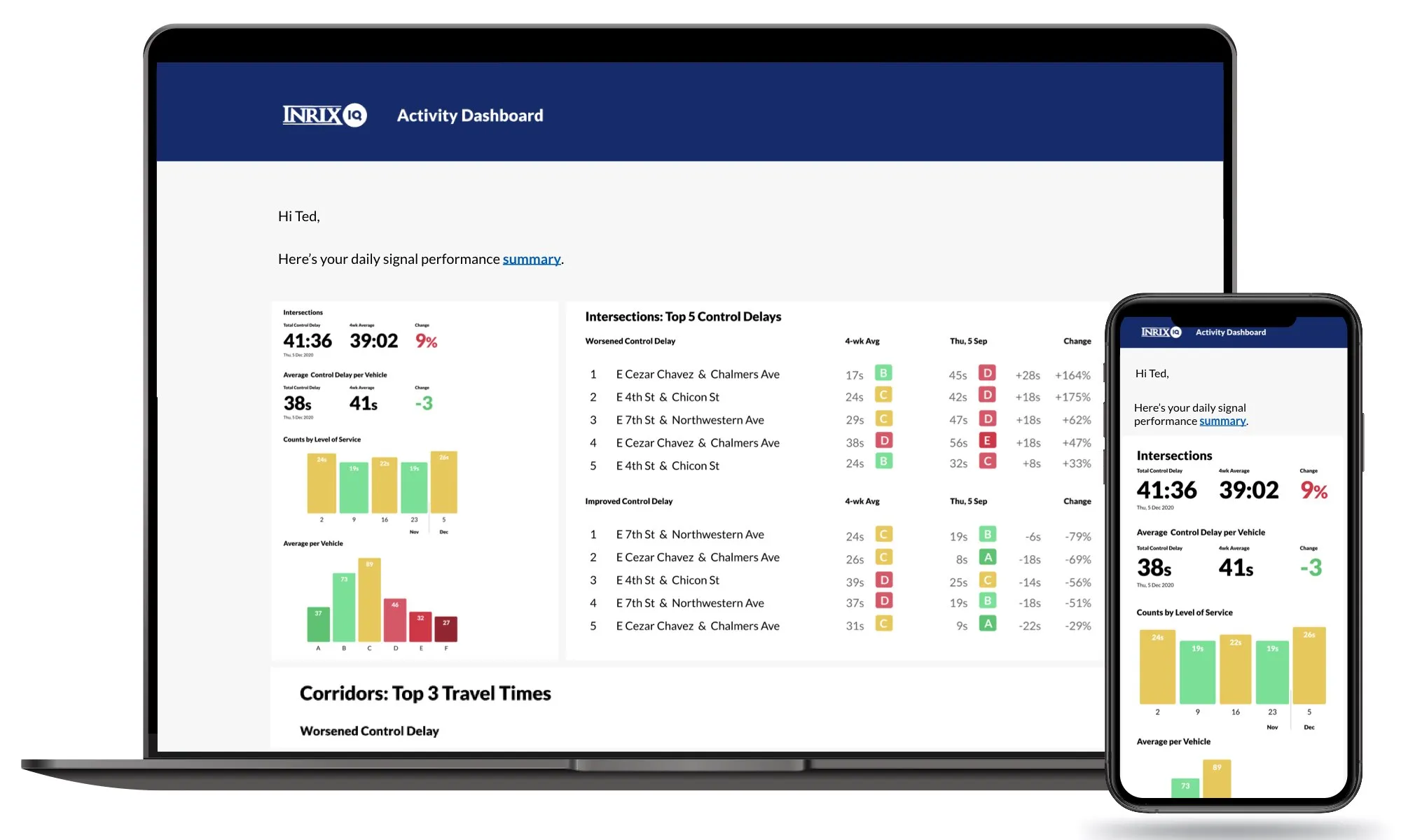
    Operators can now understand performance of 210,000 signalised intersections, firm says