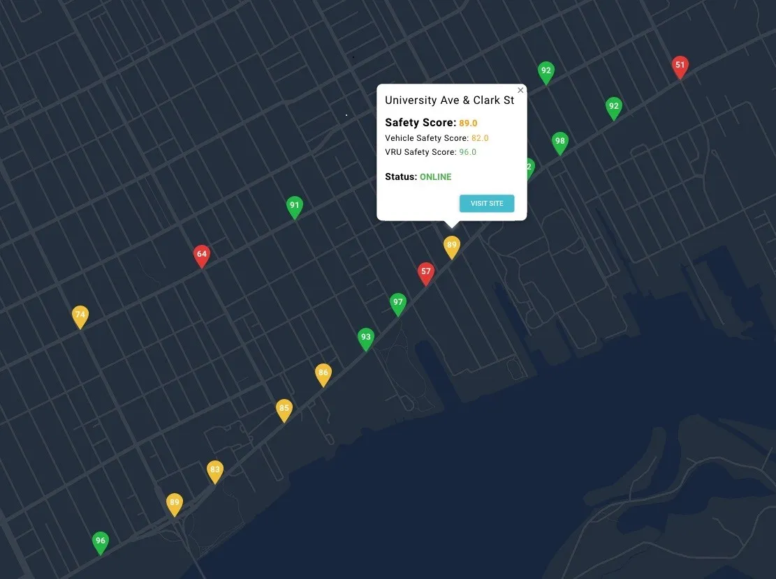
Sensys automates statistics processing

Sensys Networks is featuring its SensTraffic platform that provides automated statistical processing of precise traffic detection data, detailed performance measures, and remote network monitoring and diagnostics. Designed for arterial and freeway traffic data collection, SensFlow provides accurate volume, occupancy and speed reports. These real-time traffic data measures allow monitoring of congestion to optimise traffic operations. When used in conjunction with SensID data, the company says it gives un
October 11, 2016 Read time: 1 min
119 Sensys Networks is featuring its SensTraffic platform that provides automated statistical processing of precise traffic detection data, detailed performance measures, and remote network monitoring and diagnostics.

Designed for arterial and freeway traffic data collection, SensFlow provides accurate volume, occupancy and speed reports. These real-time traffic data measures allow monitoring of congestion to optimise traffic operations. When used in conjunction with SensID data, the company says it gives unprecedented insight into complete corridor utilisation statistics, including vehicle miles travelled (VMT) and vehicle hours travelled (VHT).

For more information on companies in this article

Related Content

  • New Traffic Data Collection and Comms Device
    April 25, 2012
    Smart Signal Technologies has launched what it claims is a remarkable new product that will save taxpayers millions of dollars annually as it improves traffic signal performance along the congested signalised arterial corridors. The product, a compact device with powerful data collection and communication features, permits the gathering of high resolution data for processing into actionable real-time information to measure and monitor signal and corridor performance.
  • Asking drivers what information they need: radical but effective
    March 19, 2014
    When Texas A&M Transportation Institute was asked to devise a temporary traveller information system for work zones, it started by asking drivers what they need. Robert Brydia explains the thinking, implementation and results. US Interstate 35 (I-35) runs roughly north–south originating in Laredo, Texas and ends 1,500 miles away in Duluth, Minnesota having passed through Oklahoma, Kansas, Missouri and Iowa. Within Texas the I-35 splits into I-35E and I-35W passing through Dallas and Fort Worth respectiv
  • UK government to investigate best practice for travel information
    January 30, 2012
    The UK Government has been advised by an internal inquiry that it should investigate examples of best practice in travel information services. So where might it look? Jon Masters reports. Publication of a UK Government report on road congestion this year has highlighted a need to look beyond home borders when searching out answers to pressing problems. With regard to issues of travel information in particular, UK transport professionals would do well to look overseas for solutions they can emulate.
  • TRB 2023: Derq makes dash for safety
    January 10, 2023
    Dashboard-based Insight suite generates safety scores across road corridors or networks