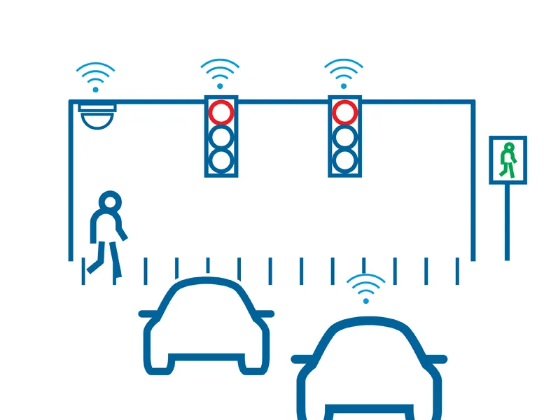
Today at ITS America 2016 San Jose is highlighting Sensys Networks announces SensTraffic, a traffic data and analytical Smart City software platform for managing corridors and intersections. According to the company, this new service improves upon the highly manual and inefficient methods to collect traffic data and incorporate it into actionable insights. Traffic engineers can generate a wide variety of detailed reports including congestion mapping, travel times, origin/destination, high-resolution perform

Today at ITS America 2016 San Jose is highlighting 119 Sensys Networks announces SensTraffic, a traffic data and analytical Smart City software platform for managing corridors and intersections. According to the company, this new service improves upon the highly manual and inefficient methods to collect traffic data and incorporate it into actionable insights. Traffic engineers can generate a wide variety of detailed reports including congestion mapping, travel times, origin/destination, high-resolution performance measures, on-demand signal retiming data, bicycle and vehicle counts, safety metrics, complete system diagnostics and more. The continually collected statistics can be viewed in near real-time and user-defined alerts enable monitoring capabilities for rapid response to changing conditions. In addition, all of the data is archived for trend analysis and customisable reports in graphical, table and spreadsheet formats.
The robust server architecture of SensTraffic is compatible with existing traffic management systems. Real-time poll or push data feeds enable automatic interfacing with third party applications so users have access to critical data wherever they need it.
“Today's Smart Cities need accurate, actionable data to improve the way people travel through cities,” says Amine Haoui, CEO for Sensys Networks. “SensTraffic puts that data right at the fingertips of traffic engineers, helping them to reduce congestion and emissions. All of these features empower traffic visionaries to make data-driven decisions for managing roadways, increasing safety and even optimising traffic signals.”
When put to use, SensTraffic generates measurable benefits including up to 40% reduction in traffic delays, 25% less travel time and 31% fewer accidents. The data platform is already being used by several agencies across the country, such as the Golden Gate Bridge Highway & Transportation District in nearby San Francisco, where they are collecting accurate realtime traffic counts on a per-lane basis to trigger traffic alarms and provide monthly reports for planning.