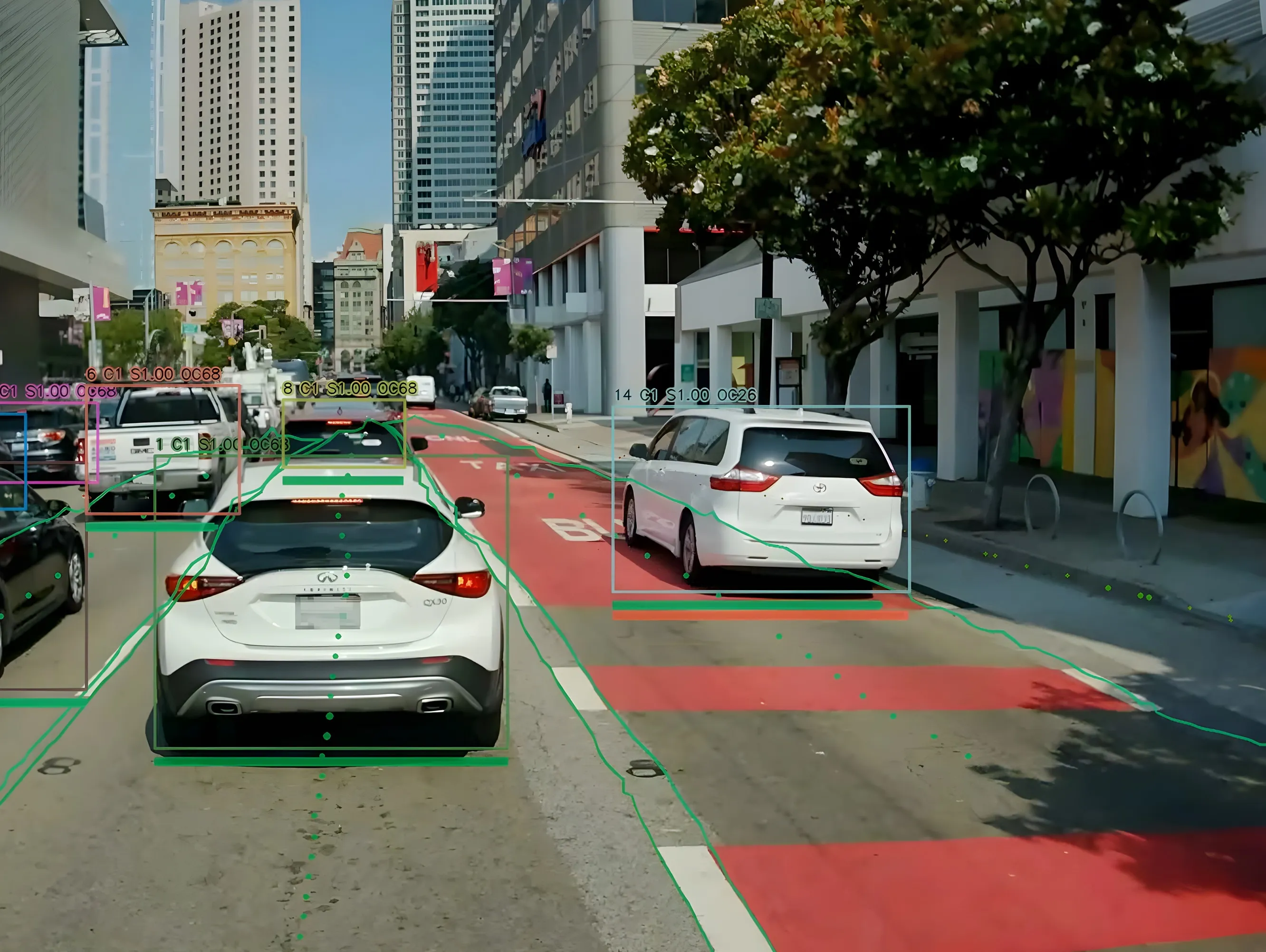
Sensefields keeps a count of car parking spaces

A solution that reduces congestion inside parking areas, informs drivers where spaces are available, guides them to those spaces and optimise parking utilisation is being displayed on Sensefield’s stand in Hall 11. Called wireless parking guidance by area, the system works by measuring the traffic flow in the entrances and exits of parking areas to calculate the number of available spaces in each zone.
April 5, 2016 Read time: 1 min

A solution that reduces congestion inside parking areas, informs drivers where spaces are available, guides them to those spaces and optimise parking utilisation is being displayed on 7667 SenseFields stand in Hall 11.

Called wireless parking guidance by area, the system works by measuring the traffic flow in the entrances and exits of parking areas to calculate the number of available spaces in each zone.

Information about the availability of spaces is displayed to drivers to help them locate a vacant space while historic data can be used by car park managers to determine usage patterns and improve service for motorists. The system is said to be easy to install and maintain requiring minimal intervention in the infrastructure and scalable to cover very large car parks.

Related Content

  • August 29, 2024
    Hayden AI & Snapper Services keep their eyes on the road
    Snapper Services CEO Miki Szikszai and Chris Carson, CEO of Hayden AI, tell Adam Hill about synergy and partnership – and how to make use of data once you’ve gathered it
  • April 5, 2016
    Quercus launches BirdWatch Parking Suite software platform
    Quercus Technologies is using Intertraffic Amsterdam to stage the world launch of the BirdWatch Parking Suite, an innovative centralised and powerful software platform.
  • March 14, 2012
    Bridging the highway travel information gap
    A new traffic management solution is attempting to bridge the gap in information available on freeways and arterial roadways. Andrew Bardin Williams reports. Agencies responsible for national networks of roads around the world have the ability to measure, analyse and disseminate accurate travel information to drivers. Millions of dollars go into data collection infrastructure to collect traffic congestion and travel time information on major freeways or highways. For example, a driver on the I-210 in the Lo
  • May 20, 2013
    Driver information sign project underway
    UK local authority Bath and North East Somerset Council is installing state-of-the-art traffic electronic messaging signs around the outskirts and within Bath to provide better travel information for drivers entering the city. The variable message signs (VMS) will provide a range of information including incidents, events, car park space availability, and encourage motorists to use Park and Ride – all from the Council’s existing traffic control room at the touch of a button. The improvements to driver infor