Swedish geographic modelling specialist Blom and Finnish company Suomen Kuntotekniikka are cooperating on road condition assessment projects using BlomSTREET imagery to enable visual assessment of roads requiring repairs and providing budgetary analysis of the maintenance and construction tasks. BlomSTREET imagery provides automatic traffic sign inventory using official traffic sign libraries. The company says recent projects demonstrate that the automatic method provides a completion of better than 90% of
March 19, 2015
Read time: 1 min
Swedish geographic modelling specialist Blom and Finnish company Suomen Kuntotekniikka are cooperating on road condition assessment projects using BlomSTREET imagery to enable visual assessment of roads requiring repairs and providing budgetary analysis of the maintenance and construction tasks.
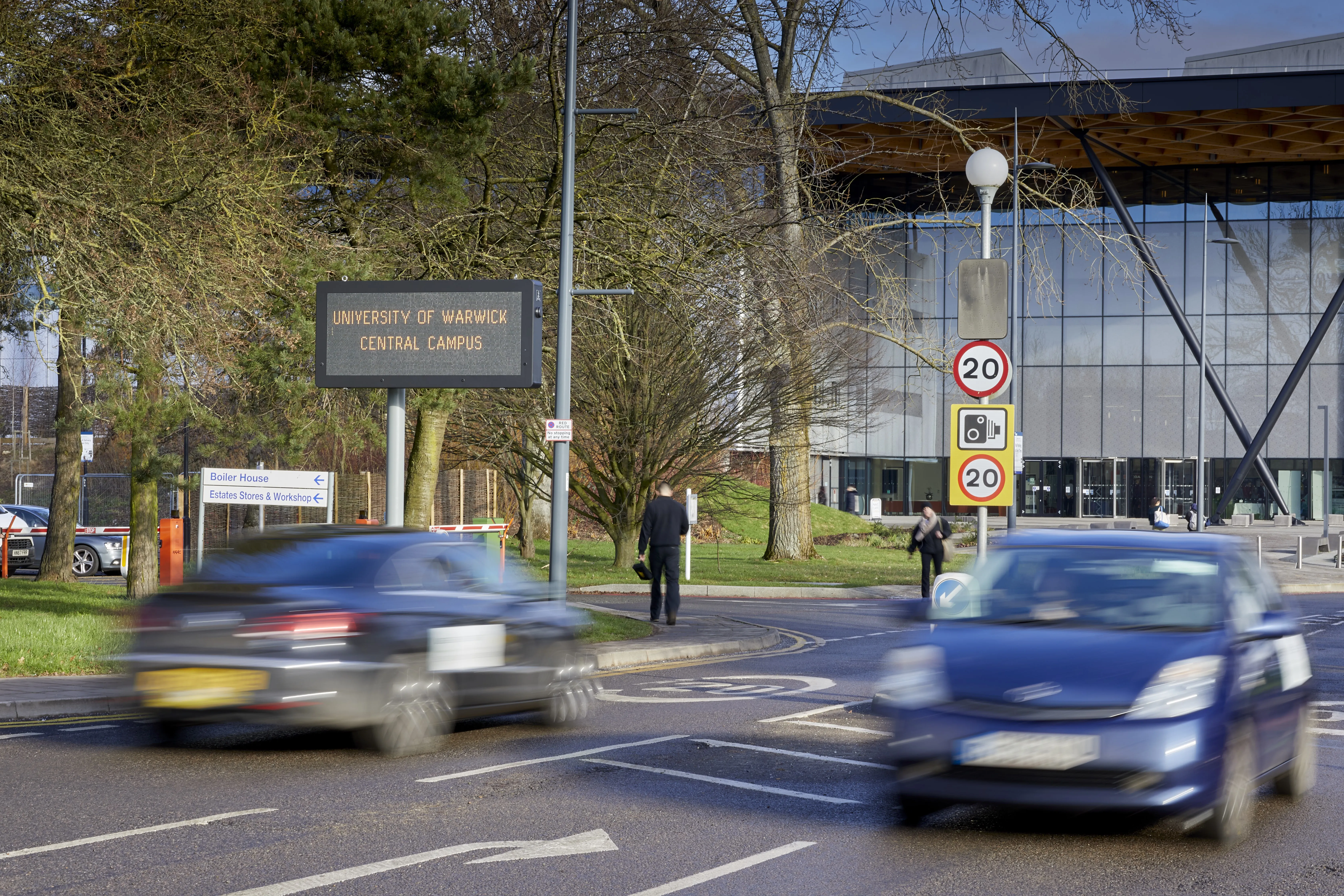
BlomSTREET imagery provides automatic traffic sign inventory using official traffic sign libraries. The company says recent projects demonstrate that the automatic method provides a completion of better than 90% of an inventory project. Problems caused by dense vegetation, partial signs and other intrusions can be improved using manual editing.
A standard traffic sign inventory includes capturing coordinates (x,y,z) and orientation, standard deviation, sign type and any text contained on the sign itself. Once images have been captured for inventory and assessment purposes they can also be used for city planning and 3D modelling.


