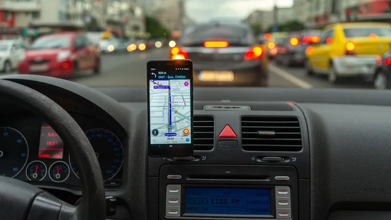
In an effort to make Pennsylvania’s roads safer and more efficient, the PA Turnpike Commission (PTC) entered a data-sharing partnership with Waze, a real-time, crowdsourced navigation app.
Designed as a two-way data share of traffic information, the Waze Connected Citizens Program promotes greater efficiency, deeper insights and safer roads. Users of the app – called “Wazers” – along with other drivers and agencies, like the PTC, collaborate to improve the accuracy, timeliness and availability of roadway
June 1, 2015
Read time: 2 mins

In an effort to make Pennsylvania’s roads safer and more efficient, the PA Turnpike Commission (PTC) entered a data-sharing partnership with 6897 Waze, a real-time, crowdsourced navigation app.
Designed as a two-way data share of traffic information, the Waze Connected Citizens Program promotes greater efficiency, deeper insights and safer roads. Users of the app – called “Wazers” – along with other drivers and agencies, like the PTC, collaborate to improve the accuracy, timeliness and availability of roadway information.
Under the new agreement, Waze will receive live feeds from the PA Turnpike’s Traffic Operations Center (TOC), including traffic incidents, road closures, construction alerts and estimated travel times.
In addition, Waze adds publicly available incident and road closure reports from its platform to deliver a thorough overview of current road conditions.
774 Pennsylvania Turnpike data collected via Waze provides a new immediate source of information to the PTC’s Traffic Operations Center and enhances the viability of data fed to Turnpike travelers.
Most importantly, it can provide quicker notification of an accident to TOC dispatchers and improve incident response time while making the Turnpike’s safety and maintenance crews aware of roadway issues sooner.
Designed as a two-way data share of traffic information, the Waze Connected Citizens Program promotes greater efficiency, deeper insights and safer roads. Users of the app – called “Wazers” – along with other drivers and agencies, like the PTC, collaborate to improve the accuracy, timeliness and availability of roadway information.
Under the new agreement, Waze will receive live feeds from the PA Turnpike’s Traffic Operations Center (TOC), including traffic incidents, road closures, construction alerts and estimated travel times.
In addition, Waze adds publicly available incident and road closure reports from its platform to deliver a thorough overview of current road conditions.
Most importantly, it can provide quicker notification of an accident to TOC dispatchers and improve incident response time while making the Turnpike’s safety and maintenance crews aware of roadway issues sooner.


