Lufft exhibit ‘all season’ sensors

Lufft, known globally for its Marwis road weather sensor, is featuring an array sensors for mobile or stationary road weather information systems (RWIS) and automated weather observation sensors (AWOS). They consist of, amongst others, professional all-in-one weather sensors such as the WS800, road sensors, including the IRS31PRO-UMB, as well as visibility sensors, like the VS2k and VS20k. These technologies warn against slipperiness, imminent black ice, aquaplaning, precipitation, fog and other kinds of tr
October 10, 2016 Read time: 1 min
6478 Lufft, known globally for its Marwis road weather sensor, is featuring an array sensors for mobile or stationary road weather information systems (RWIS) and automated weather observation sensors (AWOS). They consist of, amongst others, professional all-in-one weather sensors such as the WS800, road sensors, including the IRS31PRO-UMB, as well as visibility sensors, like the VS2k and VS20k. These technologies warn against slipperiness, imminent black ice, aquaplaning, precipitation, fog and other kinds of traffic dangers.

The company points to the real-world benefits of its sensor range: not only is traffic safety significantly improved, but also weatherrelated accident evidence is recorded. Moreover, Lufft’s sensors help to save on de-icing chemicals and to protect the environment.

For more information on companies in this article

Related Content

  • US Cities push for smarter poles
    June 25, 2018
    US Cities The need to connect existing infrastructure has led various US transit authorities into imaginative alleyways: David Crawford examines some new roles for street furniture. US cities are vying with each other in developing schemes to create a new generation of connected places. Their strategies include taking advantage of their streetlight poles’ height and ubiquity to give them new roles in supporting intelligent nodes. They are now being equipped for collecting real-time data on key transport
  • Additional accuracy enhances ITS options
    March 19, 2015
    High accuracy and reliability of GNSS location data is available using the EGNOS services to be ready for Galileo’s expanding satellite constellation. Global navigation satellite systems (GNSS) are increasingly a building block for ITS applications from road user charging and E-call to tracking & tracing of freight. Even while the European Space Agency is still assembling the Galileo constellation, EGNOS (the European Geostationary Navigation Overlay Service) is already providing the basis of a range of ser
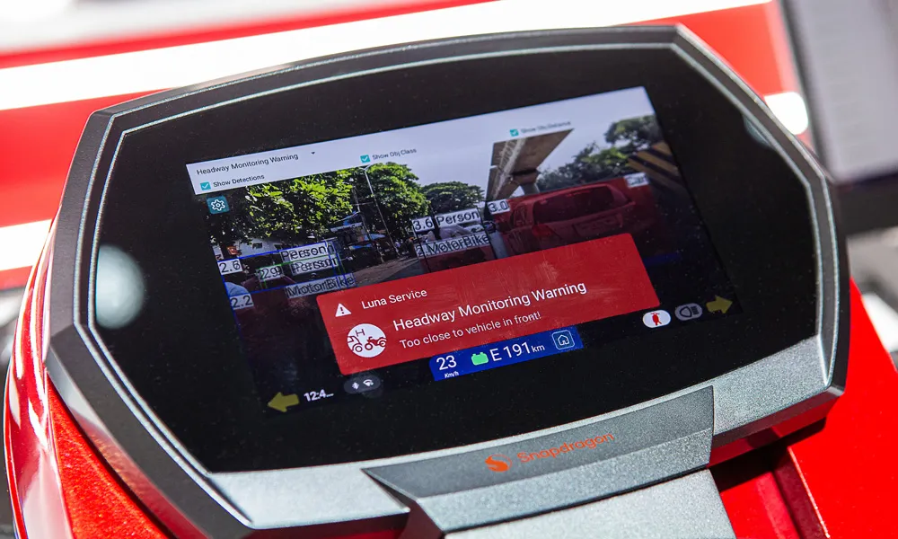
  • How connectivity and intelligence are redefining the riding experience
    May 31, 2024
    Connected services and safety solutions for vulnerable road users (VRUs) riding two and three-wheelers
  • FOTsis targets ‘socially inclusive’ cooperative ITS
    December 5, 2013
    The FOTsis project addresses the imbalances between the vehicular and infrastructure sides of cooperative ITS infrastructures and looks to ensure road operators can help to enrich future technology applications. By Jason Barnes. Several developments have conspired to push the vehicular side of cooperative infrastructures/cooperative ITS to the fore in recent years. The automotive industry’s rather shorter product development and lifecycles combined with economic slowdown in many regions gave rise to the not