Iteris adds MAP21 to performance measurement software

Iteris has announced it has added MAP-21 (Moving Ahead for Progress in the 21st Century) features to the robust iPeMS performance measurement software platform, designed to help agencies meet forthcoming performance reporting requirements of the transportation legislation. The module supports the National Performance Management Research Data Set (NPMRDS) that is provided free to states and Metropolitan Planning Organisations (MPOs). Iteris’ iPeMS platform provides cloud-based hosting of processed NPMRDS
June 2, 2015 Read time: 2 mins
Sandra Lennie and Ramin Massoumi of Iteris
73 Iteris has announced it has added MAP-21 (Moving Ahead for Progress in the 21st Century) features to the robust iPeMS performance measurement software platform, designed to help agencies meet forthcoming performance reporting requirements of the transportation legislation. The module supports the National Performance Management Research Data Set (NPMRDS) that is provided free to states and Metropolitan Planning Organisations (MPOs).

Iteris’ iPeMS platform provides cloud-based hosting of processed NPMRDS data and through iPeMS, makes data visualisations and performance measurements from this probe data set accessible 24/7 through a web interface. The MAP-21 Module performs data cleaning and imputation, and then calculates performance measures, including congestion and reliability measures, such as the amount of congestion, travel time index (TTI) and the planning time index (PTI). Users can view a series of dashboards for the performance measures, which compare the current month’s performance to the previous month’s and to the previous year.

“With the new iPeMS MAP-21 Module from Iteris, state DOTs and MPOs can leverage data on the National Highway System to help meet reporting requirements and better understand roadway performance, enabling efficient and effective planning and operation of the transportation system.” said Ramin Massoumi, senior VP.

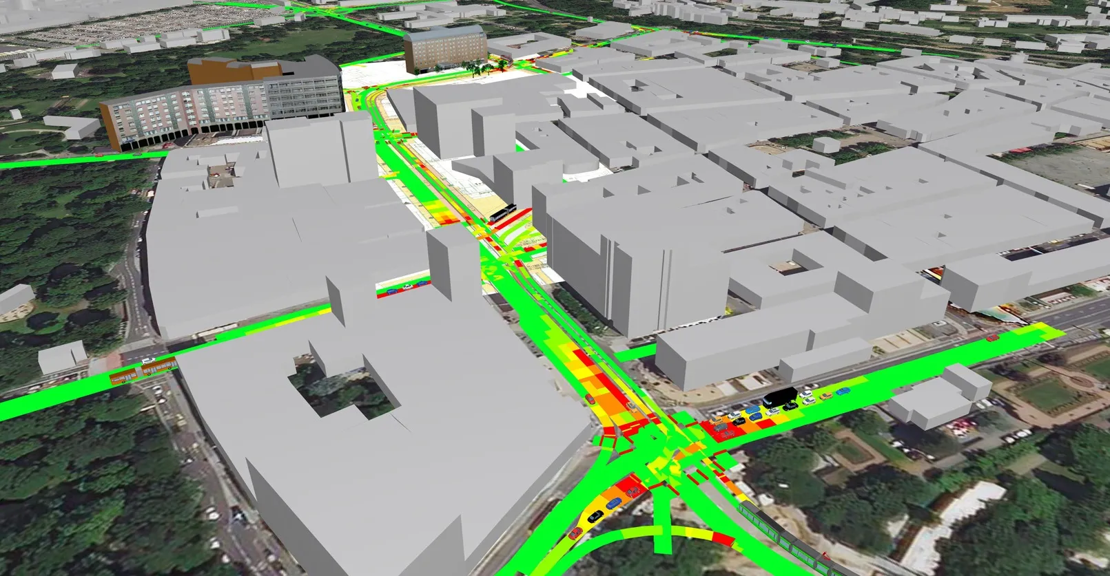
The software provides a quick and easy visual representation of how the road network is performing. Users can pan and zoom around their state or region to view performance information related to congestion and reliability on interactive maps showing the progression of congestion over the day. The module rolls up the raw data to make hourly, daily, monthly, and annual analysis easy.

For more information on companies in this article

Related Content

  • Teletrac Navman launches driver safety analytics solution
    May 18, 2018
    Software provider Teletrac Navman has added a safety analytics module to its Director platform to help fleet managers track driver behaviour and implement safe driving practices. The solution’s integrated event viewer allows users to simultaneously view driving event replays and unsafe behaviours on Google Maps, using GPS data and dashboard camera footage.
  • PTV and Bosch set out to improve air quality 
    March 24, 2021
    Precise emissions data from Bosch to be available in traffic simulation software PTV Vissim 
  • Parcels giant DPD UK takes on new Sunrise IT Service Management (ITSM) SaaS to keep things on track and on time
    January 18, 2018
    Sunrise Software has won a contract to supply the parcel delivery group DPD with its IT Service Management (ITSM) SaaS solution to help keep things on track and on time. The package will provide “an easy to use, adaptable and intuitive interface to log and manage incidents for employee and contractual customer support,” says Sunrise. This “includes a self-service portal for end-users.” The new system will be used to support DPD’s 10,000-strong UK staff, its 22,000 business customers and millions of parcel
  • Amazon keeps its head in the cloud
    December 17, 2021
    The days of Amazon just selling books may be long, long gone – but Randy Iwasaki of Amazon Web Services tells Adam Hill why the ability to tell stories still has an important place in a highly technical transport environment