Iteris has announced it has added MAP-21 (Moving Ahead for Progress in the 21st Century) features to the robust iPeMS performance measurement software platform, designed to help agencies meet forthcoming performance reporting requirements of the transportation legislation. The module supports the National Performance Management Research Data Set (NPMRDS) that is provided free to states and Metropolitan Planning Organisations (MPOs).
Iteris’ iPeMS platform provides cloud-based hosting of processed NPMRDS

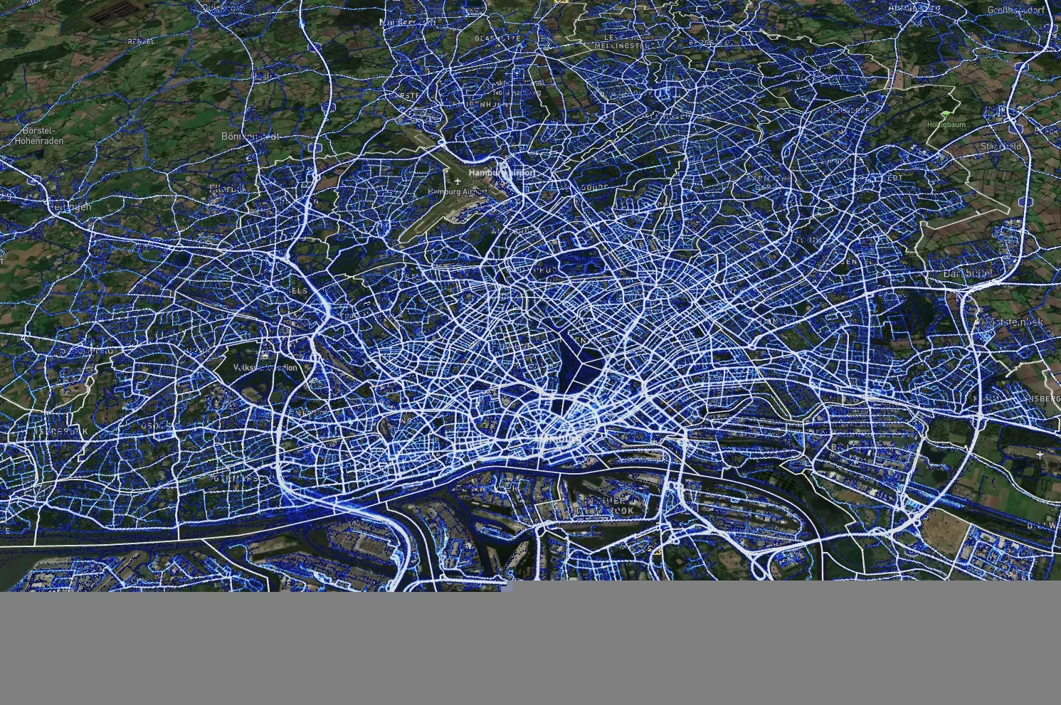
Iteris’ iPeMS platform provides cloud-based hosting of processed NPMRDS data and through iPeMS, makes data visualisations and performance measurements from this probe data set accessible 24/7 through a web interface. The MAP-21 Module performs data cleaning and imputation, and then calculates performance measures, including congestion and reliability measures, such as the amount of congestion, travel time index (TTI) and the planning time index (PTI). Users can view a series of dashboards for the performance measures, which compare the current month’s performance to the previous month’s and to the previous year.
“With the new iPeMS MAP-21 Module from Iteris, state DOTs and MPOs can leverage data on the National Highway System to help meet reporting requirements and better understand roadway performance, enabling efficient and effective planning and operation of the transportation system.” said Ramin Massoumi, senior VP.
The software provides a quick and easy visual representation of how the road network is performing. Users can pan and zoom around their state or region to view performance information related to congestion and reliability on interactive maps showing the progression of congestion over the day. The module rolls up the raw data to make hourly, daily, monthly, and annual analysis easy.