Iteris adds MAP21 to performance measurement software

Iteris has announced it has added MAP-21 (Moving Ahead for Progress in the 21st Century) features to the robust iPeMS performance measurement software platform, designed to help agencies meet forthcoming performance reporting requirements of the transportation legislation. The module supports the National Performance Management Research Data Set (NPMRDS) that is provided free to states and Metropolitan Planning Organisations (MPOs). Iteris’ iPeMS platform provides cloud-based hosting of processed NPMRDS
June 2, 2015 Read time: 2 mins
Sandra Lennie and Ramin Massoumi of Iteris
73 Iteris has announced it has added MAP-21 (Moving Ahead for Progress in the 21st Century) features to the robust iPeMS performance measurement software platform, designed to help agencies meet forthcoming performance reporting requirements of the transportation legislation. The module supports the National Performance Management Research Data Set (NPMRDS) that is provided free to states and Metropolitan Planning Organisations (MPOs).

Iteris’ iPeMS platform provides cloud-based hosting of processed NPMRDS data and through iPeMS, makes data visualisations and performance measurements from this probe data set accessible 24/7 through a web interface. The MAP-21 Module performs data cleaning and imputation, and then calculates performance measures, including congestion and reliability measures, such as the amount of congestion, travel time index (TTI) and the planning time index (PTI). Users can view a series of dashboards for the performance measures, which compare the current month’s performance to the previous month’s and to the previous year.

“With the new iPeMS MAP-21 Module from Iteris, state DOTs and MPOs can leverage data on the National Highway System to help meet reporting requirements and better understand roadway performance, enabling efficient and effective planning and operation of the transportation system.” said Ramin Massoumi, senior VP.

The software provides a quick and easy visual representation of how the road network is performing. Users can pan and zoom around their state or region to view performance information related to congestion and reliability on interactive maps showing the progression of congestion over the day. The module rolls up the raw data to make hourly, daily, monthly, and annual analysis easy.

For more information on companies in this article

Related Content

  • Geotab shows trio of software solutions
    September 21, 2022
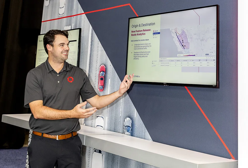
    First-time visitor to the World Congress Geotab is showing several software products that it has developed in recent months to help classify vehicle behaviour. Route Analytics (RA), Stop Analytics (SA) and Updated Vehicle Vocation Classifications (UVVC) are all now part of the company’s portfolio.
  • Orange County to manage traffic with trial interoperable CCTV
    September 12, 2014
    Interoperable CCTV can provide early warning of problems and help improve traffic management and incident response as Morteza Fahrtash and Carlos Ortiz explain. California’s transportation system is one of the state’s defining features and Caltrans (California Department of Transportation) strives to improving mobility across the state through the design, construction, operation and maintenance of the network of highway, freeways, toll roads and expressways.
  • Browsing welcome in Here's Lidar library
    January 18, 2022
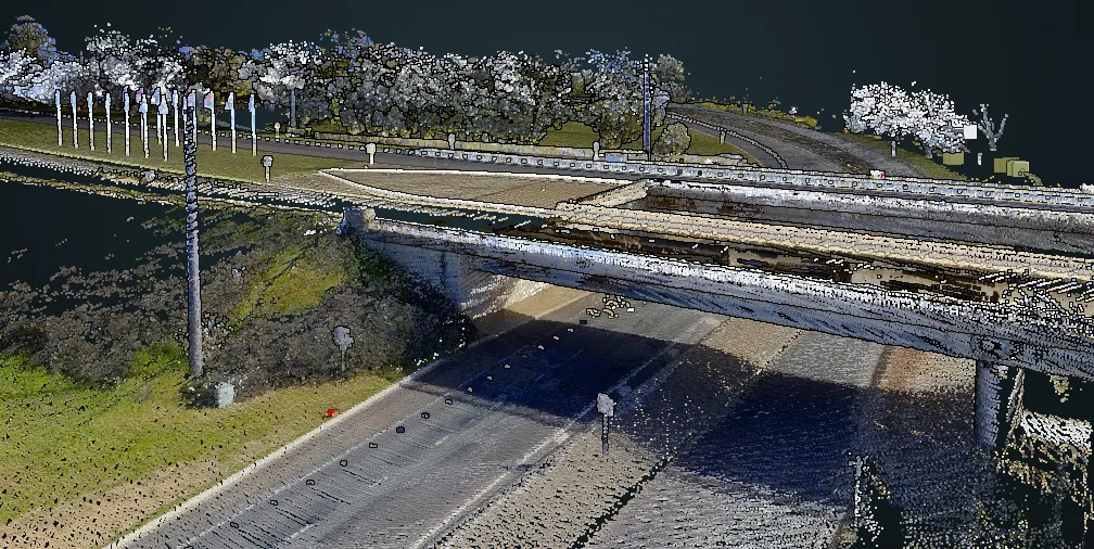
    Company says it hopes to decrease the costs associated with data collection surveys 
  • Texas moves to prevent wrong-way drivers
    May 30, 2014
    A study has shown the extent and ramifications of wrong way driving and proposed cost-effective countermeasures. Wrong way driving collisions occur relatively infrequently but the results can be devastating. Statistics from the US National Transportation Safety Board, an independent, federal all-modes agency, reveal that wrong way (WW) driving, account for only about 3% of accidents on high-speed divided highways but are much more likely to result in fatal and serious injuries.