Iteris adds MAP21 to performance measurement software

Iteris has announced it has added MAP-21 (Moving Ahead for Progress in the 21st Century) features to the robust iPeMS performance measurement software platform, designed to help agencies meet forthcoming performance reporting requirements of the transportation legislation. The module supports the National Performance Management Research Data Set (NPMRDS) that is provided free to states and Metropolitan Planning Organisations (MPOs). Iteris’ iPeMS platform provides cloud-based hosting of processed NPMRDS
June 2, 2015 Read time: 2 mins
Sandra Lennie and Ramin Massoumi of Iteris
73 Iteris has announced it has added MAP-21 (Moving Ahead for Progress in the 21st Century) features to the robust iPeMS performance measurement software platform, designed to help agencies meet forthcoming performance reporting requirements of the transportation legislation. The module supports the National Performance Management Research Data Set (NPMRDS) that is provided free to states and Metropolitan Planning Organisations (MPOs).

Iteris’ iPeMS platform provides cloud-based hosting of processed NPMRDS data and through iPeMS, makes data visualisations and performance measurements from this probe data set accessible 24/7 through a web interface. The MAP-21 Module performs data cleaning and imputation, and then calculates performance measures, including congestion and reliability measures, such as the amount of congestion, travel time index (TTI) and the planning time index (PTI). Users can view a series of dashboards for the performance measures, which compare the current month’s performance to the previous month’s and to the previous year.

“With the new iPeMS MAP-21 Module from Iteris, state DOTs and MPOs can leverage data on the National Highway System to help meet reporting requirements and better understand roadway performance, enabling efficient and effective planning and operation of the transportation system.” said Ramin Massoumi, senior VP.

The software provides a quick and easy visual representation of how the road network is performing. Users can pan and zoom around their state or region to view performance information related to congestion and reliability on interactive maps showing the progression of congestion over the day. The module rolls up the raw data to make hourly, daily, monthly, and annual analysis easy.

For more information on companies in this article

Related Content

  • New technology is changing the Weigh In Motion landscape
    June 5, 2014
    Exciting new weigh in motion solutions were showcased at Intertraffic. Guy Woodford reports For many years weigh-in-motion (WIM) has been used solely as a filtering mechanism to detect potentially overloaded vehicles, but introductions at Intertraffic may see that change. At the Intertraffic exhibition to unveil its Apollo range of British-manufactured axle weighbridges was Applied Traffic. The in-motion and static axle-by-axle weighing system offers slow speed and portable weighing solutions suitable for
  • StreetLight Data and Altitude by Geotab reach new heights
    March 31, 2025
    Freight planning product covers aggregate truck volumes & congestion metrics
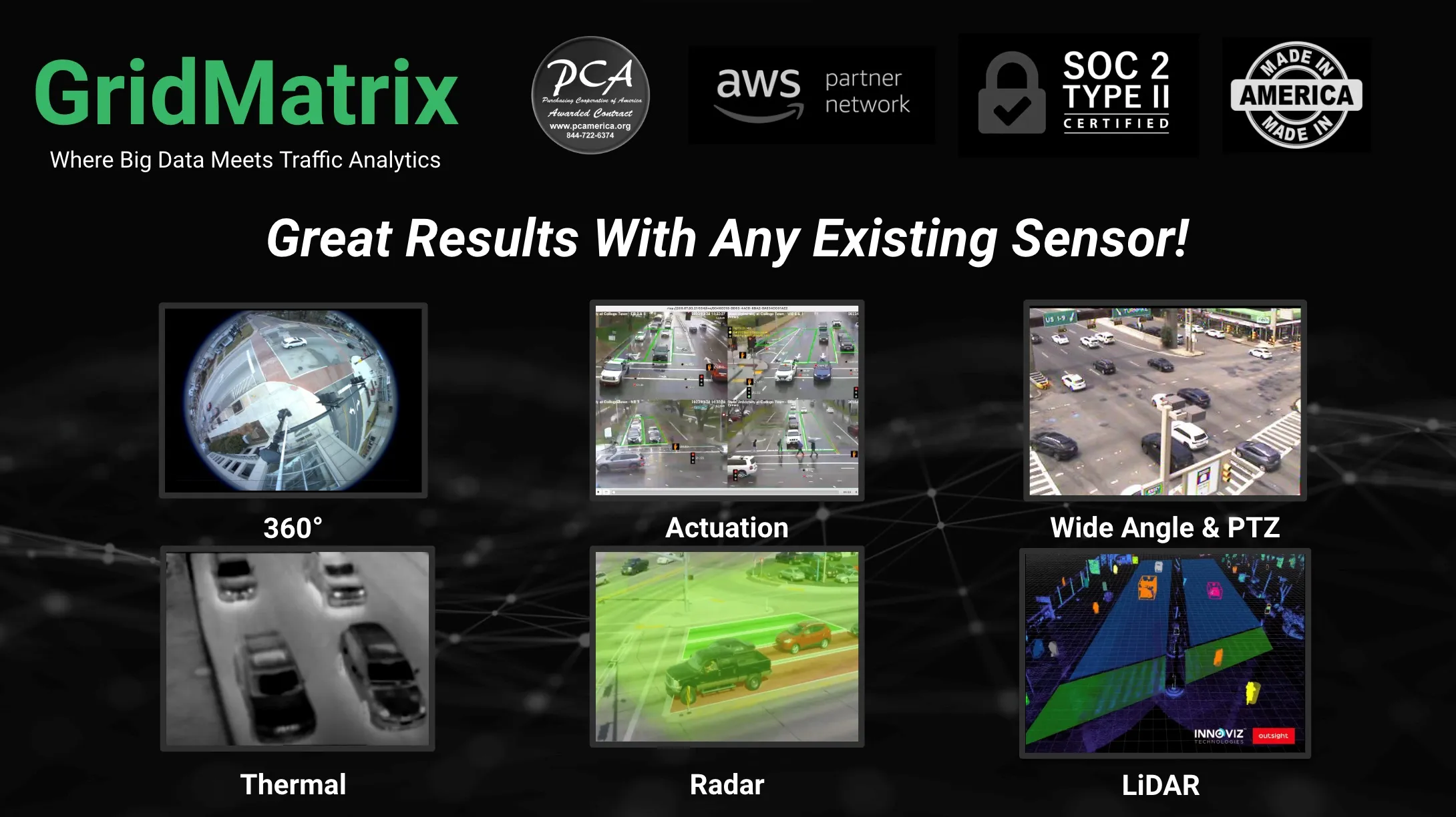
  • GridMatrix maximises power of existing infrastructure
    August 5, 2023

    GridMatrix’s breakthrough software platform for multimodal data collection and analytics is revolutionising transportation planning and decision making across the US. 

    Powered by artificial intelligence and combining the latest advances in cloud computing, machine learning and advanced sensing, GridMatrix’s platform is deployed in New York City on the world’s busiest bridges and tunnels, trusted by multiple state departments of transportation, and in a fast-growing number of American towns and cities. 

  • Smoothing the path to reducing traffic pollution
    October 22, 2014
    David Crawford reviews a new approach to traffic smoothing. A key objective for the Californian city of Bakersfield’s upgraded traffic operations centre (TOC), which opened in June 2014, is to help improve living conditions in a region with one of the worst air quality problems in the US. The TOC is speeding up the smoothing of traffic flows by delivering faster and better-informed traffic signal retiming and synchronisation.