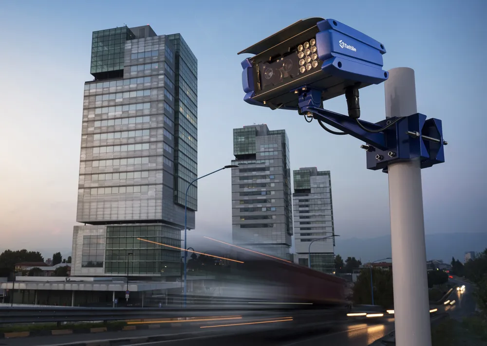
International Road Dynamics’ (IRD) new Flex under-vehicle security and surveillance systems are designed to scan, monitor and digitally record digital video of a vehicle’s underside. It is said to be suitable for use by government, military, transportation departments and corporations at vehicle security checkpoints.
The under-vehicle area scanner is capable of capturing either stationary vehicles or those travelling at speeds of up to 75km/h (45mph). It is flush-mounted with the road surface and uses colo

The under-vehicle area scanner is capable of capturing either stationary vehicles or those travelling at speeds of up to 75km/h (45mph). It is flush-mounted with the road surface and uses colour and/or black and white area scanning technology to capture images which are then analysed for explosive devices, suspicious objects or contraband such as drugs and weapons.
Video can be transmitted and integrated with automatic licence plate recognition (ALPR) and driver image-capture cameras. When configured with motion detection or loop detection only live events are recorded.
Open architecture enables connection to an existing CCTV system, integration with ALPR and driver image-capture cameras and to transmit video over IP, fibre optics, coax or wirelessly.