Version 2.3 of Horizons, Yotta DCL’s highways asset management system, provides new features and functionality across three of its modules: Explorer, Analysis and Management. The Horizons web platform integrates GIS, pavement and asset management and is used by highways authorities and agencies to manage their highway assets. Horizons is claimed to clear the IT and data bottlenecks, giving full visibility in graphical format and enabling users to reach informed decisions and make cost-effective recommendati

Version 2.3 of Horizons, 5956 Yotta DCL’s highways asset management system, provides new features and functionality across three of its modules: Explorer, Analysis and Management. The Horizons web platform integrates GIS, pavement and asset management and is used by highways authorities and agencies to manage their highway assets.
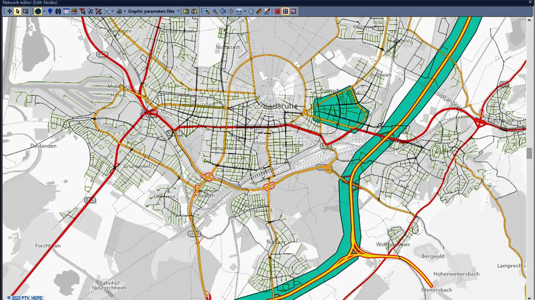
Horizons is claimed to clear the IT and data bottlenecks, giving full visibility in graphical format and enabling users to reach informed decisions and make cost-effective recommendations quickly and easily. Horizon’s Explorer module allows users to easily view a range of datasets, including base network data, their condition in fine detail, plus relevant asset or construction information. Explorer now provides a deep linking feature which makes it easy to share links to the exact location of assets and associated data using unique web addresses.
The data analysis module enhancements let users streamline the creation of optimised forward works plans quickly and simply. The new features provide the ability to model non-deteriorated parameters such as Footway Network Survey (FNS) data. There is also a new ‘Reduce by Treatment’ effect in the treatment options and a CO2 impact option can be summarised in the data analysis reports. To make it easy for users to add data layers, the management module now features a layer upload/import feature. In addition, the layer builder functionality allows easy customisation and creation of data sub-sets.
“With these new features we are delivering greater value to Horizons users by giving them even more visibility and control of their highways assets. The highly visual platform is designed to help highways authorities make the best decisions about assets by allowing them to manage multiple sets of data easily and simply within a single system,” says Nick Smee, MD of Yotta DCL.
“Our enhancements therefore make it much easier to predict costs accurately, plan and model various highway maintenance scenarios, build schemes and base their decisions on sound engineering principles that maximise the value,” he adds.