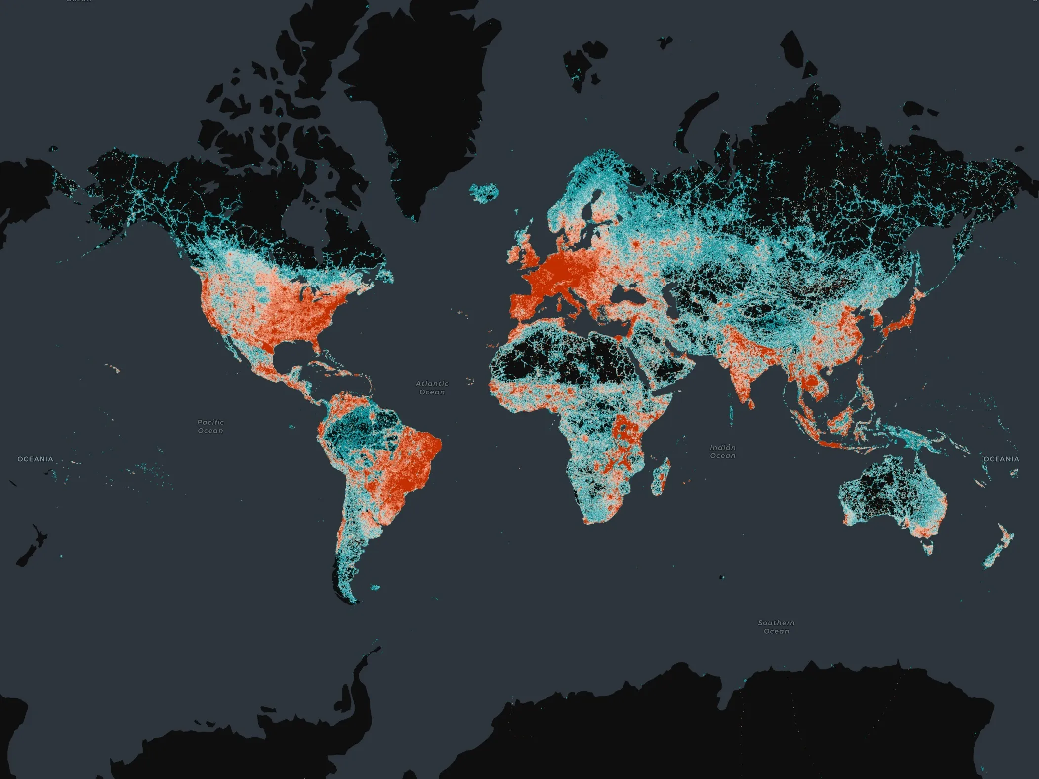
Here demonstrates precise mapping, data analytics

Here, a leader in navigation, mapping and location experiences, will come to the 2015 ITS World Congress with a powerful message: precise maps and connected data analytics hold the key to ITS. As the company points out, a city in motion generates a tremendous quantity of data, yet for the most part these data are still untapped and their potential value not fully leveraged. They are likely not shared with a broad network and probably not examined in a wider context with other data.
July 31, 2015 Read time: 2 mins
Highly precise map data from Here will enable automation in transportation and mobility, the company says

7643 Here, a leader in navigation, mapping and location experiences, will come to the 2015 ITS World Congress with a powerful message: precise maps and connected data analytics hold the key to ITS. As the company points out, a city in motion generates a tremendous quantity of data, yet for the most part these data are still untapped and their potential value not fully leveraged. They are likely not shared with a broad network and probably not examined in a wider context with other data.

That’s where Here comes in. As the company will demonstrate to delegates, it is taking advantage of recent innovations in connectivity and location analytics to not only combine data flowing from vehicles, devices and infrastructure, but to analyse and make use of them in real-time. It envisions a highly-precise, living map of our cities and road networks, with ‘location’ acting as the bond that unites data flowing from all these different sources. Such a map, Here says, is vital if cities, governments and automakers want to move towards greater automation in transportation and mobility.

The company is already moving quickly ahead, launching a new platform called Digital Transportation Infrastructure that provides cost effective, interoperable analytical software and E2E integration services for Cooperative Intelligent Transportation (c-ITS). That will be the main showcase for the company at the ITS World Congress. The team has just started work on a three-year pilot in Finland to devise a road hazard warning system utilizing its location cloud. Using LTE networks and real drivers, it’s the first pilot that meets the requirements of the European Intelligent Transportation Systems (ITS) directive.

For more information on companies in this article

Related Content

  • C-ITS in Europe: It’s the governance, stupid!
    March 3, 2023
    Cooperative ITS (C-ITS) is coming – in fact, it’s already here. But who has responsibility for making it work? Richard Lax of Kapsch TrafficCom thinks there are lessons to be learned from the European experience
  • Overture Maps releases its transportation dataset
    December 20, 2024
    Open-map dataset includes 86 million kilometres of roads worldwide
  • Improved productivity and advanced technology benefits ITS
    December 13, 2012
    John Horsley will hang up his hat as executive director of AASHTO in February 2013. After 14 years at the helm, he will bow out convinced of the current and future benefits of ITS for US transportation. Alot of exciting career opportunities still await young engineers in US transportation, says John Horsley, outgoing executive director of AASHTO – the American Association of State Highway & Transportation Officials. Horsley will be dedicating more of his time to matters of ITS after he stands down in Februa
  • Jenoptik measures out the future
    June 15, 2022
    The speed of tech changes means Jenoptik is redrawing how it sees itself. Adam Hill catches up with Stefan Traeger and Kevin Chevis at Intertraffic Amsterdam to find out more about ‘extended reality’…