Here demonstrates precise mapping, data analytics

Here, a leader in navigation, mapping and location experiences, will come to the 2015 ITS World Congress with a powerful message: precise maps and connected data analytics hold the key to ITS. As the company points out, a city in motion generates a tremendous quantity of data, yet for the most part these data are still untapped and their potential value not fully leveraged. They are likely not shared with a broad network and probably not examined in a wider context with other data.
July 31, 2015 Read time: 2 mins
Highly precise map data from Here will enable automation in transportation and mobility, the company says

7643 Here, a leader in navigation, mapping and location experiences, will come to the 2015 ITS World Congress with a powerful message: precise maps and connected data analytics hold the key to ITS. As the company points out, a city in motion generates a tremendous quantity of data, yet for the most part these data are still untapped and their potential value not fully leveraged. They are likely not shared with a broad network and probably not examined in a wider context with other data.

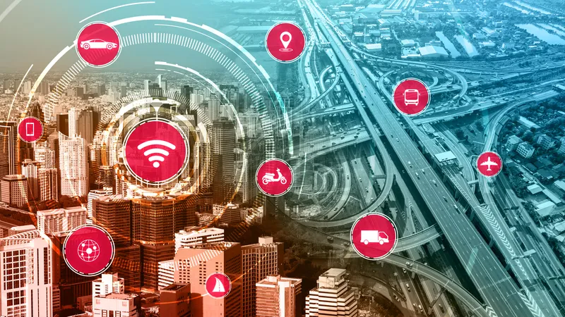
That’s where Here comes in. As the company will demonstrate to delegates, it is taking advantage of recent innovations in connectivity and location analytics to not only combine data flowing from vehicles, devices and infrastructure, but to analyse and make use of them in real-time. It envisions a highly-precise, living map of our cities and road networks, with ‘location’ acting as the bond that unites data flowing from all these different sources. Such a map, Here says, is vital if cities, governments and automakers want to move towards greater automation in transportation and mobility.

The company is already moving quickly ahead, launching a new platform called Digital Transportation Infrastructure that provides cost effective, interoperable analytical software and E2E integration services for Cooperative Intelligent Transportation (c-ITS). That will be the main showcase for the company at the ITS World Congress. The team has just started work on a three-year pilot in Finland to devise a road hazard warning system utilizing its location cloud. Using LTE networks and real drivers, it’s the first pilot that meets the requirements of the European Intelligent Transportation Systems (ITS) directive.

For more information on companies in this article

Related Content

  • Vehicle ownership - a thing of the past?
    May 22, 2012
    Convergence of electron-powered vehicles with connected vehicle technologies could mean that only a few decades from now the idea of owning a vehicle will be entirely alien to the road user. By Technolution chief scientist Dave Marples with Jason Barnes Even when taken individually, many of the developments going on and around vehiclebased mobility will bring about major changes in transportation. Taken collectively, the transformations we might expect are nothing short of profound. Enumeration of the influ
  • Next-gen sensor needs for safer, smarter cities
    July 1, 2021
    Next-generation radar sensor solutions will help smart cities deliver on the promise of optimising infrastructure, mobility, sustainability and safety, says Econolite CTO Eric Raamot
  • Vaisala: Weather data is vital for connected vehicles
    August 26, 2016
    Vaisala’s Dr Kevin Petty explains why the weather will continue to play a big part in road safety and traffic management in the smart cities of the future. The world is becoming increasingly connected. Thanks to advances in information and communications technology, the cities we live in are becoming ‘smart’, with everything from education to law enforcement managed by integrated tech solutions in a bid to improve quality of life.
  • American DOTs opt for Here real time traffic data
    September 23, 2015
    Mapping and navigation specialist Here has recently been selected by the Georgia, Alabama and Missouri state departments of transportation (DOT) to provide probe-based traffic services to enhance driver safety and improve traffic flow management and planning strategies. Here is providing the three DOTs with real time traffic data, enabling them to provide drivers with up to the minute traffic and travel time information on the states’ roads.