GPSat shows 3D solutions in Melbourne

GPSat Systems Australia is highlighting its 3D-Spatially Aware Machine (3D-SAM) technology for in-vehicle surrounding environment and multi vehicle situation awareness. Currently operational in mining automation, it delivers autonomous virtual / augmented reality for independent machine process control, essential technology for future cooperative machines associated with driverless automated vehicle applications. The company is also highlighting Griffin, a family of products under development for defence an
October 10, 2016 Read time: 1 min
GPSat Systems Australia is highlighting its 3D-Spatially Aware Machine (3D-SAM) technology for in-vehicle surrounding environment and multi vehicle situation awareness. Currently operational in mining automation, it delivers autonomous virtual / augmented reality for independent machine process control, essential technology for future cooperative machines associated with driverless automated vehicle applications. The company is also highlighting Griffin, a family of products under development for defence and aerospace. They rapidly detect and geo-locate RF interference in the regional GNSS frequency bands to provide unique regional protection against future jamming and spoofing threats.

Related Content

  • 3D-Lidar enforcement technology first for Parifex
    September 8, 2020
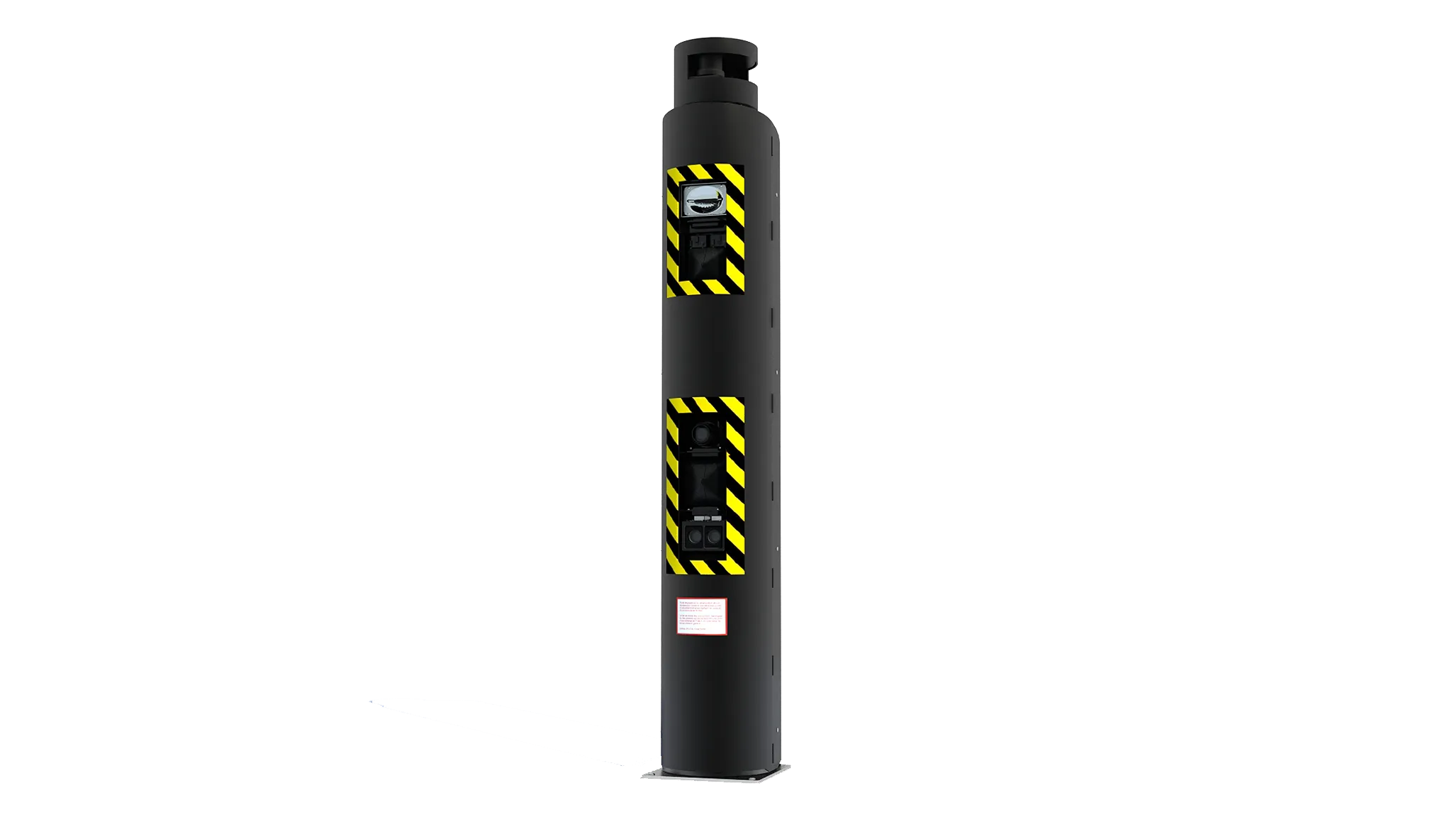
    Vigie double-sided interception fixed radar uses 3D Lidar technology
  • SafeRide and Irdeto partner on cybersecurity for C/AVs
    June 8, 2018
    Cybersecurity company SafeRide Technologies Ltd and Dutch firm Irdeto have launched a solution to help original equipment manufacturers and Tier-1 suppliers protect connected and autonomous vehicles (C/AVs). Called Vsentry, the device combines network security with software security of the engine control unit to allow users to detect anomalies and respond to attacks. Vsentry uses an artificial intelligence engine and provides multi-layer protection for securing the connectivity perimeter and the in-vehi
  • TomTom launches RoadDNA
    September 14, 2015
    TomTom has launched TomTom RoadDNA, a new product for vehicle localisation that will help make automated driving a reality, faster. Designed with vehicle data storage and processing limitations in mind, RoadDNA delivers highly accurate location information that can easily be integrated into the on-board system of a vehicle. RoadDNA’s propriety technology delivers a highly optimised lateral and longitudinal view of the roadway. By matching RoadDNA data with vehicle sensor data in real-time a vehicle knows
  • Bridge & tunnel management: seeing the bigger picture
    September 10, 2024
    A variety of technologies are available to monitor the health of critical infrastructure – and to keep the drivers who use it safe by flagging incidents while reducing false alarms