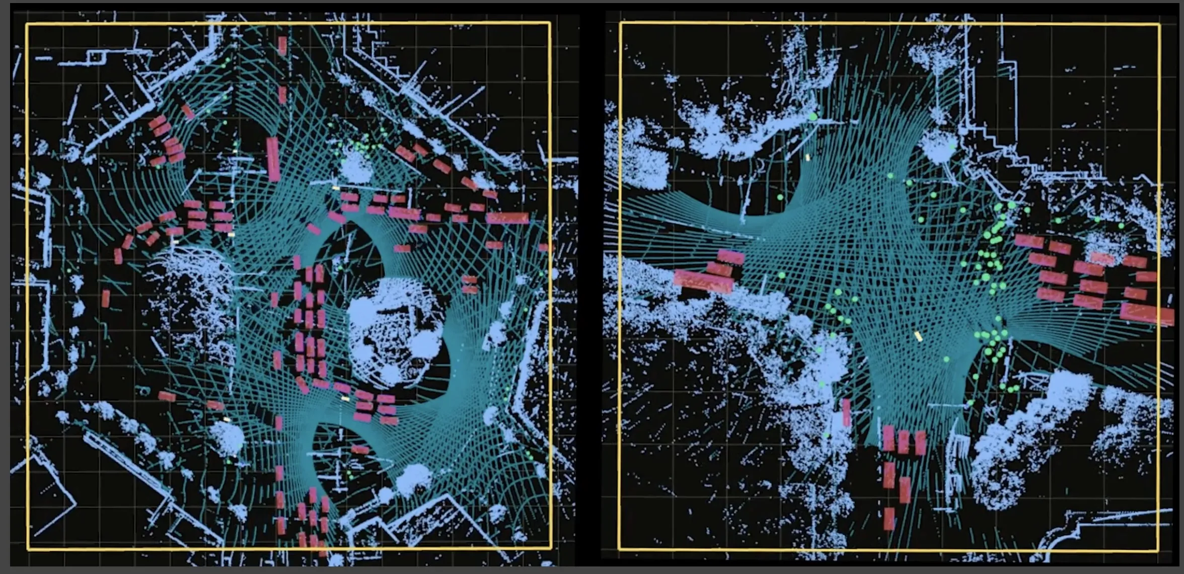
GPSat shows 3D solutions in Melbourne

GPSat Systems Australia is highlighting its 3D-Spatially Aware Machine (3D-SAM) technology for in-vehicle surrounding environment and multi vehicle situation awareness. Currently operational in mining automation, it delivers autonomous virtual / augmented reality for independent machine process control, essential technology for future cooperative machines associated with driverless automated vehicle applications. The company is also highlighting Griffin, a family of products under development for defence an
October 10, 2016 Read time: 1 min
GPSat Systems Australia is highlighting its 3D-Spatially Aware Machine (3D-SAM) technology for in-vehicle surrounding environment and multi vehicle situation awareness. Currently operational in mining automation, it delivers autonomous virtual / augmented reality for independent machine process control, essential technology for future cooperative machines associated with driverless automated vehicle applications. The company is also highlighting Griffin, a family of products under development for defence and aerospace. They rapidly detect and geo-locate RF interference in the regional GNSS frequency bands to provide unique regional protection against future jamming and spoofing threats.

Related Content

  • Seoul Robotics thinks everything’s better in 3D
    January 9, 2024
    As more and more of us will live in urban areas and need to share space on the road, 3D perception and smart cities point the way to safer transportation, says William Muller of Seoul Robotics
  • Development of cooperative driving applications for work zones
    July 17, 2012
    The German AKTIV project is researching several cooperative driving applications for use in work zones. PTV's Michael Ortgiese details progress. The steep increases in traffic volumes predicted back in the early 1990s have unfortunately been proven to be more than accurate. In Germany, the AKTIV project continues to look into cooperative technologies' potential to reduce the impact of those increased traffic volumes and keep traffic moving despite limitations in infrastructure capacity.
  • LiDAR sets its sights on future problems
    February 23, 2017
    AAdvances in LiDAR are helping transport authorities improve services and identify potential problem areas, as geospatial technology expert Dr Neil Slatcher explains. The effects of climate change on the transport infrastructure have long been a cause of concern within the transportation sector - and not only on the structures themselves but also on the surrounding areas. This year, those concerns have become reality with landslides, structural collapses and surfacing issues impacting services across the wo
  • Inertial sensors dramatically improve GNSS for ITS applications
    January 18, 2012
    Phil Harris, Thales UK, on how fused sensor data can significantly enhance GNSS-based positioning systems' performance in urban areas. Global Navigation Satellite System (GNSS)-based positioning is unique among available positioning technology due to its universal coverage and low equipment cost. By measuring the distances between an unknown position (such as a vehicle), and at least three known positions (GPS satellites), the unknown position can be calculated in three dimensions (latitude, longitude, and