Google updates maps to display natural disasters

Google is improving its SOS alerts by adding visual information about natural disasters and a navigation system on Google Maps. Google says the upgrade will extend the capabilities of the SOS alerts to provide crisis information via relevant news stories and Twitter updates from local authorities to include detailed visualisations about hurricanes, earthquakes and floods. In the days leading up to a hurricane, users will receive a crisis notification card on Google Maps warning them if they are in its p
August 20, 2019 Read time: 2 mins
Cracked road after earthquake

1691 Google is improving its SOS alerts by adding visual information about natural disasters and a navigation system on Google Maps.

Google says the upgrade will extend the capabilities of the SOS alerts to provide crisis information via relevant news stories and Twitter updates from local authorities to include detailed visualisations about hurricanes, earthquakes and floods.

In the days leading up to a hurricane, users will receive a crisis notification card on Google Maps warning them if they are in its path. A forecast cone shows the prediction of the storm’s trajectory along with information about what time it is likely to hit certain areas, the company adds.

The crisis card is also expected to display a visualisation of an earthquake’s magnitude along with colour coding to indicate the intensity of shaking in surrounding areas.

According to Google, users in India will be able to see forecasts of where flooding is likely to occur in addition to the expected severity in different areas.

This summer Google intends to offer another alert which informs people of routes which may be affected by crisis activity.

For more information on companies in this article

Related Content

  • Ukraine: how ITS works in a war zone
    November 28, 2023
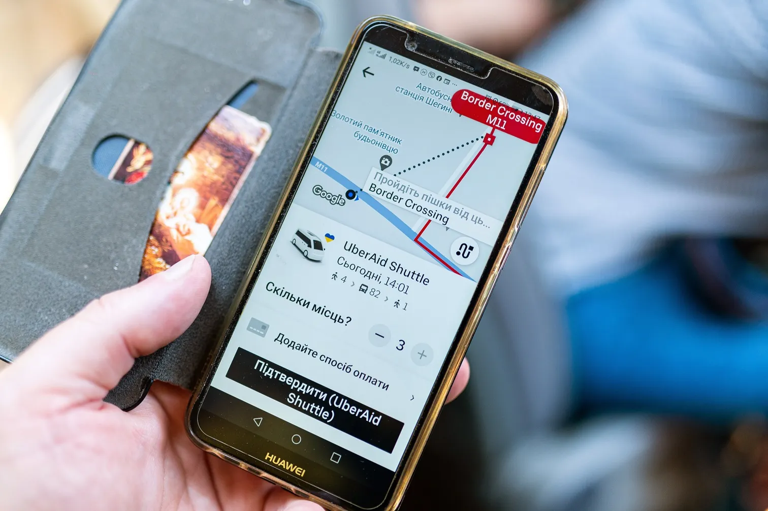
    Russia’s invasion of Ukraine has cost thousands of lives and devastated much of the country. Ertico – ITS Europe hosted a webinar in which some key players in Ukraine’s ITS community – Kyiv Digital, TomTom and Uber - shared their extraordinary stories. Adam Hill listened in…
  • Atlanta ponders Mobility as a Service for seamless transit
    June 29, 2018
    Drivers in Atlanta spent 70 hours in peak-time traffic jams last year. As the MaaS Market conference moves to the US’s fourth most congested city, we ask how Mobility as a Service can help. Colin Sowman winds down his window to listen. It is not by accident that ITS International’s first MaaS Market conference outside London is being hosted in Atlanta. The event is being supported by Georgia State Road & Tollway Authority and the City of Atlanta – and again not without a reason as metro Atlanta is looking
  • Moscow summit urges transit change
    June 11, 2019
    Moscow summit urges transit change
  • New technology revolution in urban traffic control?
    January 26, 2012
    Urban traffic control is a well-defined and practised art. Nevertheless, there are technologies here and on the horizon with the potential to revolutionise how we do things. By Gavin Jackman and Andrew Kirkham, TRL, and Jason Barnes. Distributed monitoring and control of urban traffic networks and flows is nothing new. PC-based Urban Traffic Control (UTC) is now well established and operating in many locations around the world. However, it is worth considering the effects of the huge growth in the use of sm