Google updates maps to display natural disasters

Google is improving its SOS alerts by adding visual information about natural disasters and a navigation system on Google Maps. Google says the upgrade will extend the capabilities of the SOS alerts to provide crisis information via relevant news stories and Twitter updates from local authorities to include detailed visualisations about hurricanes, earthquakes and floods. In the days leading up to a hurricane, users will receive a crisis notification card on Google Maps warning them if they are in its p
August 20, 2019 Read time: 2 mins
Cracked road after earthquake

1691 Google is improving its SOS alerts by adding visual information about natural disasters and a navigation system on Google Maps.

Google says the upgrade will extend the capabilities of the SOS alerts to provide crisis information via relevant news stories and Twitter updates from local authorities to include detailed visualisations about hurricanes, earthquakes and floods.

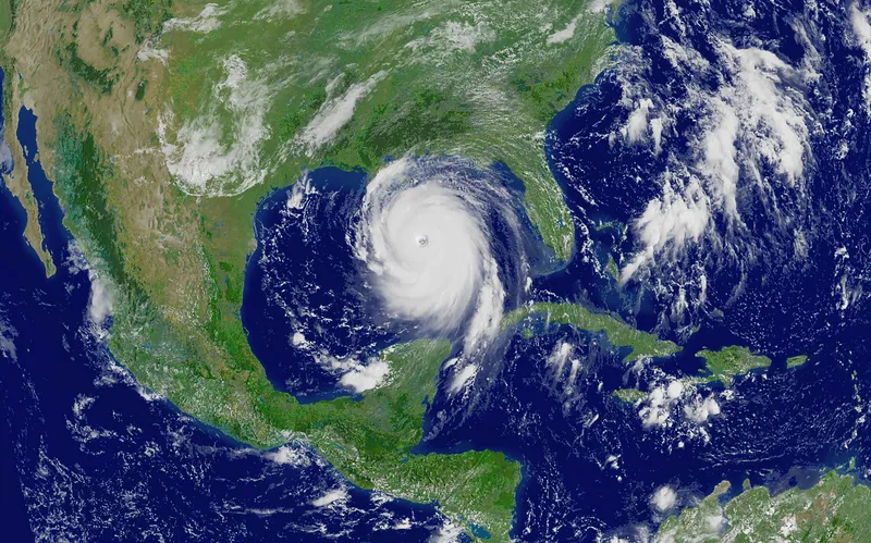
In the days leading up to a hurricane, users will receive a crisis notification card on Google Maps warning them if they are in its path. A forecast cone shows the prediction of the storm’s trajectory along with information about what time it is likely to hit certain areas, the company adds.

The crisis card is also expected to display a visualisation of an earthquake’s magnitude along with colour coding to indicate the intensity of shaking in surrounding areas.

According to Google, users in India will be able to see forecasts of where flooding is likely to occur in addition to the expected severity in different areas.

This summer Google intends to offer another alert which informs people of routes which may be affected by crisis activity.

Related Content

  • Florida toll suspensions in force as Hurricane Milton hits
    October 10, 2024
    Move in place till 14 October designed to help ease evacuation from path of storm
  • NavFusion provides map updates via a smart phone app
    November 28, 2013
    A new app that connects a vehicle’s systems to the internet opens up a range of possibilities as Jon Masters discovers. Sometimes the most straightforward or simple of ideas can be the most significant. So it seems with the latest development from Hungarian navigation software supplier NNG. The company’s software features in-vehicle infotainment systems and has launched NavFusion – which connects a vehicles’ sat nav programs to smartphones. NavFusion is being incorporated into NNG’s iGO navigation s
  • Integrated corridor management 'to enhance travel efficiency'
    August 29, 2012
    New systems of software are coming together to form the technological backbone of a project that will apply practically to one corridor in Dallas, but influence travel across a wider area. Dallas Area Rapid Transit (DART) is the lead agency for an extensive Integrated Corridor Management (ICM) project in Dallas, covering an area stretching north east of downtown Dallas, 20 miles long by two miles wide. The corridor is defined loosely by the US-75 freeway and DART’s light rail ‘red line’. These are the theor
  • Esri and Microsoft in strategic alliance on disaster maps and applications
    August 2, 2012
    Esri has announced a strategic alliance with Microsoft to assist public and private agencies and communities around the world during disasters. Microsoft will display Esri public information maps on its cloud-based disaster response incident portal, as well as point citizens to the maps via its online outlets, such as MSN and Bing. Esri's ArcGIS integration within a number of Microsoft's disaster response management solutions will provide governments and leading aid organisations with a more comprehensive s