Gewi uses Waze data to initiate pothole repair projects

Gewi has announced a new component for its TIC software which will collect Waze data and automatically take action based on the specific event type and subtype, enabling the software to automatically create road repair projects based on user-generated pothole reports from Waze. The process uses the project feature of the software, which allows the user to decide what action to take when a pothole is reported, such as sending a notification to the maintenance department based on the pothole location. Further
July 10, 2017 Read time: 1 min
Gewi has announced a new component for its TIC software which will collect 6897 Waze data and automatically take action based on the specific event type and subtype, enabling the software to automatically create road repair projects based on user-generated pothole reports from Waze. The process uses the project feature of the software, which allows the user to decide what action to take when a pothole is reported, such as sending a notification to the maintenance department based on the pothole location. Further steps can be assigned based on the repair process specified by the local authority.

All the traffic information features of TIC are available within the repair project, so traffic information can be distributed to navigation devices, broadcasters, VMS signs, portable devices, web pages and directly to Waze.

For more information on companies in this article

Related Content

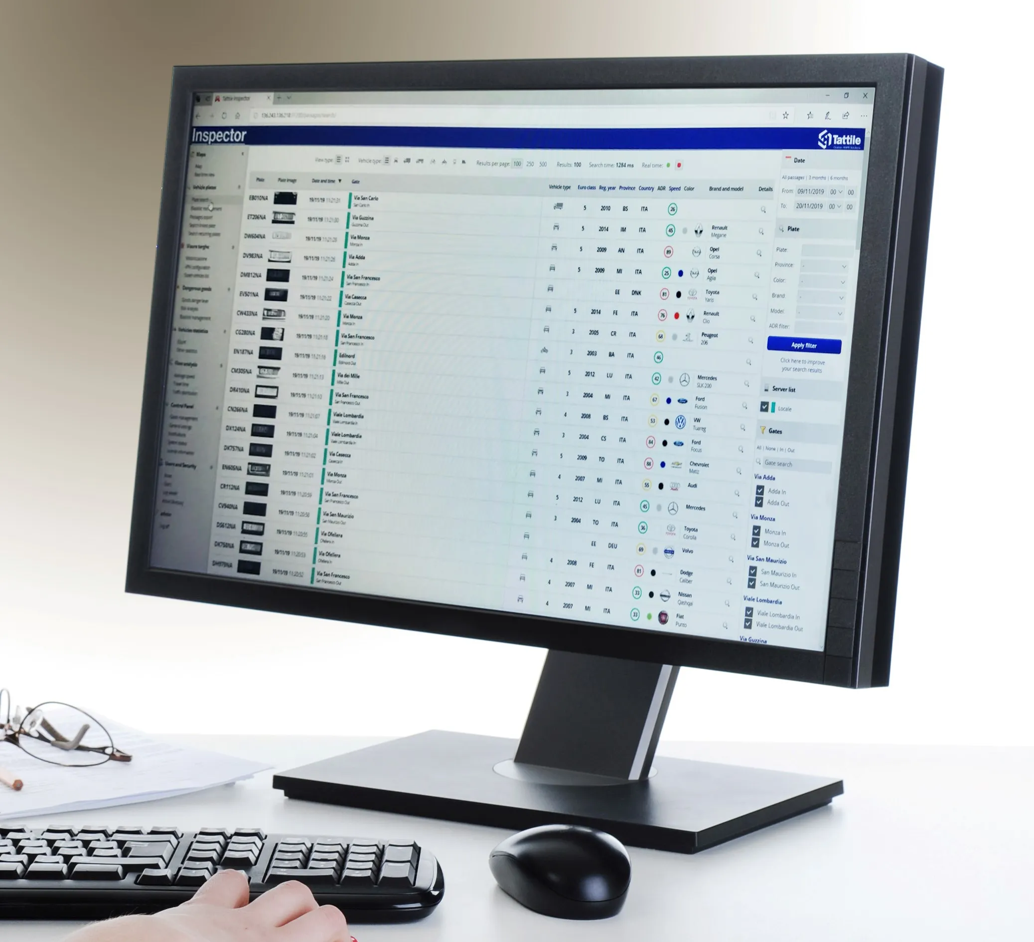
  • Number plate analysis tool from Tattile
    January 24, 2020
    Tattile has unveiled a software tool which it says enables users to aggregate and analyse data of all connected cameras in a given area. 
  • Overture is open to the bigger picture
    June 18, 2024
    Four of the biggest players in the world of mapping have joined forces to create easy-to-use, interoperable open data that will power the next generation of maps. Kevin Borras talks collaborative interoperability with Overture Map Foundation’s Marc Prioleau and TomTom’s Willem Strijbosch
  • ASECAP widens its influence and fosters debate in Dubrovnik
    August 5, 2013
    Jason Barnes reports from the ASECAP Days 2013 event, which took place in Dubrovnik. ASECAP, the European tolling association held its 41st annual Study and Information Days event in Dubrovnik, Croatia, which attracted more than 200 figures from the road infrastructure sector in Europe and beyond. A series of presentations over two days brought attendees up to date with developments in a variety of policy and technology fields and discussed a number of developing and new topics, such as GNSS-based tolling a
  • New Jersey DOT unveils travel time information signs
    January 21, 2013
    Capitalising on its investment in Intelligent Transportation Systems (ITS) technology, New Jersey Department of Transportation (NJDOT) is to install permanent dynamic message signs (DMS) along New Jersey’s interstate highways. The signs display major waypoints, such as intersecting highways or significant roadway features, and indicate how many minutes it will take to reach that waypoint. The DOT has completed the testing phase on fifteen DMS on I-287 and I-195 and is planning further signs on other major