Flir is showcasing its latest thermal imaging cameras at its booth at ITS America in Pittsburgh, giving traffic management center personnel clear views into low-visibility areas caused by darkness, flashing lights, smoke, fog and other conditions. Better visibility allows traffic engineers to better assess road conditions, traffic patterns and incident detection and send that information upstream to approaching motorists.
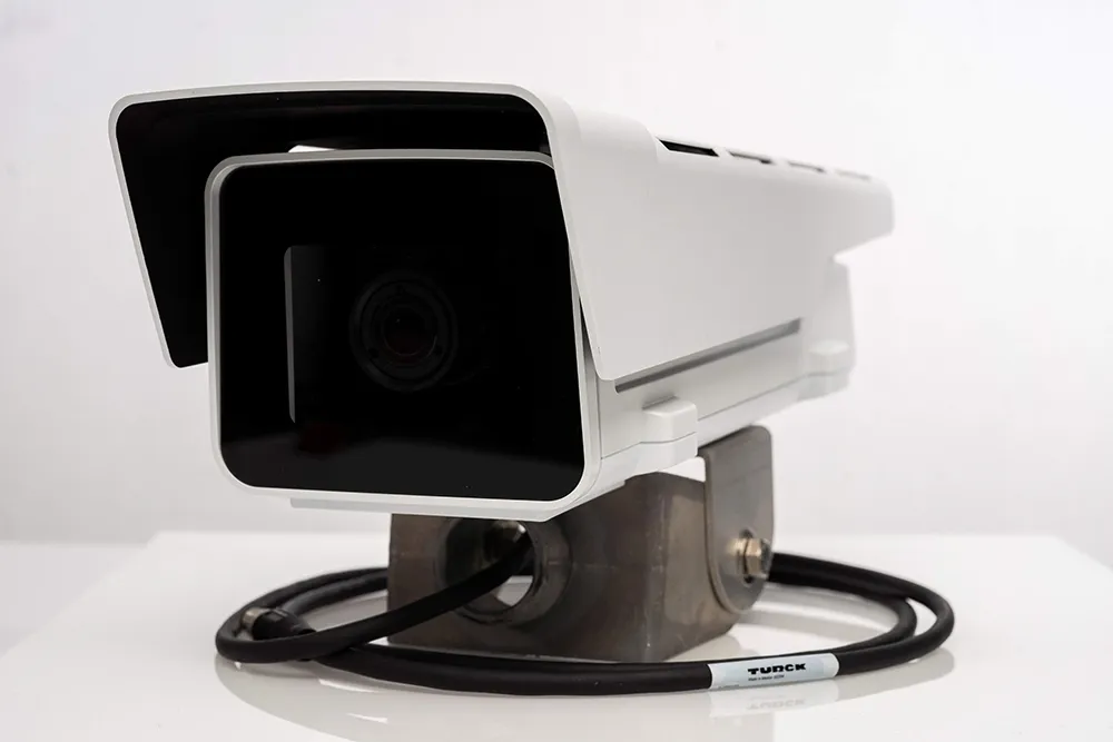
The company’s D Series of cameras provide both optical and thermal imaging, however

The company’s D Series of cameras provide both optical and thermal imaging, however, most transportation organizations that utilize the technology end up using the thermal screens nearly exclusively, according to Dan Dietrich, director of Flir’s ITS division in North America. A dozen state department of transportations are currently using the cameras, including Florida DOT and Colorado DOT.
The Florida deployment is a direct result of an accident that resulted in smoke obscuring traffic cameras at the scene, slowing emergency response and delaying aid to injured motorists. The new thermal cameras would be able to provide visibility through the smoke, allowing the local traffic management center to better direct emergency responders.
Dietrich said that thermal imaging also helps detect motorists that have been ejected out of vehicles on the side of the road. While fire fighters often use hand-held thermal detectors, having them integrated with traffic cameras would speed identification and get motorists the help they need quicker.
Thermal imaging also works better at night and in dimly-lit areas, giving traffic management centers the 24x7 coverage they need to provide round-the-clock monitoring of roadways.