Esri simplifies location based information

Every piece of transportation technology and data has some sort of location associated with it, according to Keith King from Esri, a leading Geographic Information System (GIS) solution provider, and transportation organizations need to be able to effectively visualize, analyze, integrate and interpret that location-based information. Esri ArcGIS brings together maps, apps, data and people to make smarter decisions while empowering everyone from line-of-business managers to executives with timely, accura
June 3, 2015 Read time: 1 min
Every piece of transportation technology and data has some sort of location associated with it, according to Keith King from 50 Esri, a leading Geographic Information System (GIS) solution provider, and transportation organizations need to be able to effectively visualize, analyze, integrate and interpret that location-based information.

Esri ArcGIS brings together maps, apps, data and people to make smarter decisions while empowering everyone from line-of-business managers to executives with timely, accurate information and collaboration.

For more information on companies in this article

Related Content

  • New version of Esri CityEngine
    January 31, 2012
    Esri CityEngine 2011, the latest version of Esri's software for creating high-quality 3D content, is now available.
  • Esri highlights benefits of a state-wide data-rich environment
    September 7, 2020
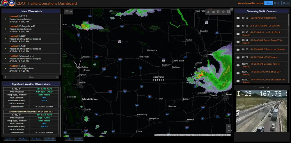
    Walk into virtually any traffic operations centre and you will be confronted by people flipping between different screens and CCTV monitors, and individually viewing a large number of stand-alone applications to try to understand a comprehensive picture of their live traffic, weather, incident, and snow conditions from these disparate sources.
  • Cloud computing technology benefits GIS
    July 17, 2012
    Geographic Information Systems are a relatively late adopter of cloud computing,but the benefits of host services for geospatial data and analysis are becoming clear. Jason Barnes reports Both the concept and the reality of cloud computing have been around for some time. More and more industry sectors are entrusting external service providers with the provision of their computing services via the internet. However, the Geographic Information System (GIS) industry has been slow to embrace the trend. This is
  • GIS-based state of the art emergency response, damage recovery
    January 26, 2012
    The gecko is one of several members of the lizard family which demonstrate autotomy: the ability to re-grow a tail or some other appendage lost during a time of peril. The GITA's GECCo programme is looking to give US infrastructures much the same capability