Esri simplifies location based information

Every piece of transportation technology and data has some sort of location associated with it, according to Keith King from Esri, a leading Geographic Information System (GIS) solution provider, and transportation organizations need to be able to effectively visualize, analyze, integrate and interpret that location-based information. Esri ArcGIS brings together maps, apps, data and people to make smarter decisions while empowering everyone from line-of-business managers to executives with timely, accura
June 3, 2015 Read time: 1 min
Every piece of transportation technology and data has some sort of location associated with it, according to Keith King from 50 Esri, a leading Geographic Information System (GIS) solution provider, and transportation organizations need to be able to effectively visualize, analyze, integrate and interpret that location-based information.

Esri ArcGIS brings together maps, apps, data and people to make smarter decisions while empowering everyone from line-of-business managers to executives with timely, accurate information and collaboration.

For more information on companies in this article

Related Content

  • The role of GIS in climate change resiliency
    May 29, 2014
    Climate change will pose global and local challenges and that includes risks to the transportation infrastructure. Climate change adaptation and resiliency has captured the attention of the transportation community for some time now. Because transportation infrastructure is often designed to last for 30, 50, or 100 years or even longer, transportation professionals are concerned not only about the impact on our existing investments, but also how to design more durable transportation systems for the future
  • TomTom and Esri fusion transform urban mobility
    April 28, 2025

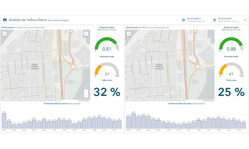
    A collaboration between TomTom and Esri will take centre stage at the upcoming Congress with a session titled "Driving Insights: Unlocking the Power of TomTom Historic Traffic Data in ArcGIS.” Led by industry experts Frans Keijzer from TomTom and Jaime Nieves from Esri Spain, this presentation will showcase how integrating TomTom's historical traffic data with the ArcGIS platform has transformed urban mobility in Gran Canaria, Spain.

  • Collaboration to deliver asset management for transportation agencies
    April 4, 2016
    GIS software specialist Esri and infrastructure asset management software provider AgileAssets have announced a new strategic collaboration on technology development and implementation services, which will provide clients with the combined power of AgileAssets’ transportation asset management solutions and the Esri ArcGIS platform. The collaboration results in AgileAssets’ further integration of Esri technologies into the AgileAssets platform, – including Esri ArcGIS Server, Esri Roads & Highways, Collec
  • Bangalore adopts GIS-based road infrastructure system
    June 6, 2014
    To support the unprecedented urban growth in Bangalore, India’s third most populous city with a population of over eight million, the Bruhat Bangalore Mahanagara Palike (BBMP) has adopted GIS to completely transform the way it manages its road network. Using GeoCivic Road Infrastructure Management, a solution by CyberTech, a partner of Esri, BBMP built a geo-enabled, transparent system that provides officials with information-rich dashboards for monitoring road activities across all wards and zones. The