Every piece of transportation technology and data has some sort of location associated with it, according to Keith King from Esri, a leading Geographic Information System (GIS) solution provider, and transportation organizations need to be able to effectively visualize, analyze, integrate and interpret that location-based information.
Esri ArcGIS brings together maps, apps, data and people to make smarter decisions while empowering everyone from line-of-business managers to executives with timely, accura

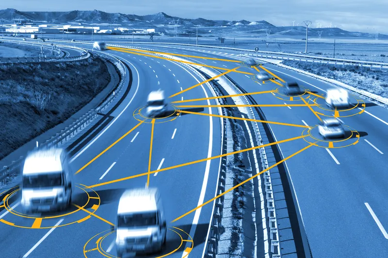
Every piece of transportation technology and data has some sort of location associated with it, according to Keith King from 50 Esri, a leading Geographic Information System (GIS) solution provider, and transportation organizations need to be able to effectively visualize, analyze, integrate and interpret that location-based information.
Esri ArcGIS brings together maps, apps, data and people to make smarter decisions while empowering everyone from line-of-business managers to executives with timely, accurate information and collaboration.
Esri ArcGIS brings together maps, apps, data and people to make smarter decisions while empowering everyone from line-of-business managers to executives with timely, accurate information and collaboration.