Esri and AgileAssets offer one-stop asset management

The big news on the stand of geographic information system (GIS) software specialist Esri is its strategic collaboration with infrastructure asset management software AgileAssets on technology development and an implementation services. Not only will this will allow authorities to benefit from the combination of AgileAssets’ asset management solutions and Esri’s ArcGIS, further integration will see Estri’s ArcGIS Server, Roads & Highways, Collector and Survey for ArcGIS 123 available on AgileAssets’ platfo
April 5, 2016 Read time: 2 mins

The big news on the stand of geographic information system (GIS) software specialist 50 Esri is its strategic collaboration with infrastructure asset management software AgileAssets on technology development and an implementation services.

Not only will this will allow authorities to benefit from the combination of AgileAssets’ asset management solutions and Esri’s ArcGIS, further integration will see Estri’s ArcGIS Server, Roads & Highways, Collector and Survey for ArcGIS 123 available on AgileAssets’ platform.

In addition, AgileAssets has established a new consultation and deployment practice that offers transportation authorities a ‘one-stop shop’ for implementing integrated AgileAssets-Esri solutions.

According to AgileAssets’ CEO Stuart Hudson, the move is a turning point for the industry and offers benefits for those responsible for the maintenance and operations of high-value infrastructure assets. Terry Bills, transportation industry manager at Esri, said the collaboration provides users with a combination of advanced geospatial analytics and elegant mapping that outlines where, when and how to optimally invest their budgets.

For more information on companies in this article

Related Content

  • New world basemap from Esri
    March 19, 2012
    In cooperation with National Geographic, Esri has released the National Geographic world basemap that combines a century-old cartographic tradition with the power of GIS technology to produce a distinctive internet-based map service for GIS, consumer, education, and mobile users. Designed to be aesthetically pleasing, the National Geographic World Map is for users who want to display minimal data on a vibrant, highly detailed background. The map is currently available at ArcGIS Online in the basemap gallery
  • TomTom and Esri fusion transform urban mobility
    April 28, 2025

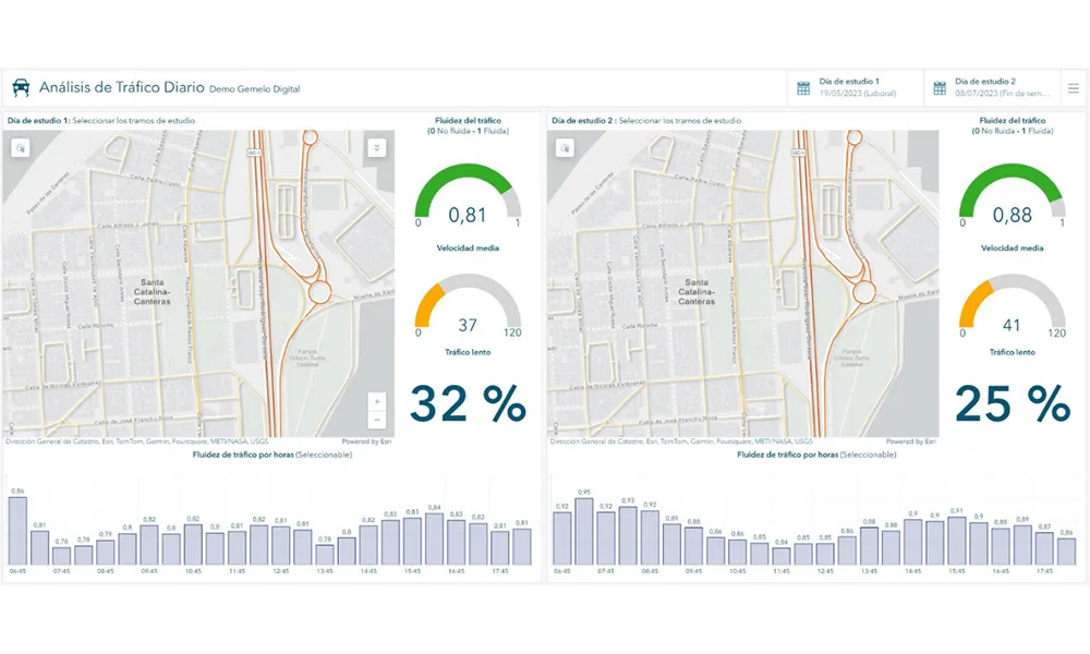
    A collaboration between TomTom and Esri will take centre stage at the upcoming Congress with a session titled "Driving Insights: Unlocking the Power of TomTom Historic Traffic Data in ArcGIS.” Led by industry experts Frans Keijzer from TomTom and Jaime Nieves from Esri Spain, this presentation will showcase how integrating TomTom's historical traffic data with the ArcGIS platform has transformed urban mobility in Gran Canaria, Spain.

  • Umovity: Revolutionising mobility through innovative technologies
    December 1, 2023
    United under the brand Umovity, PTV Group and Econolite join forces and introduce their new combined Mobility Tech Suite. The companies’ CEO Christian U. Haas explains the details
  • New York pioneers online mobile real-time bus tracking
    May 22, 2012
    An unusual technology collaboration. David Crawford investigates Early in January 2012, the New York City Metropolitan Transportation Authority (MTA) rolled out the first borough-wide implementation of its pioneering Bus Time online mobile real-time tracking service. The system allow commuters to track each bus on every route in real-time on the internet, via smartphones and by text messaging to a mobile phone. The MTA chose Staten Island for its first live launch due to it being the only one of the five Ne