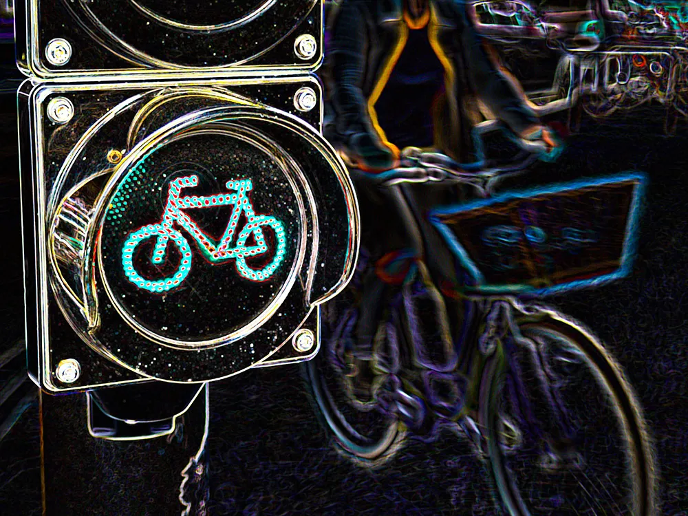
UK-based air quality specialist
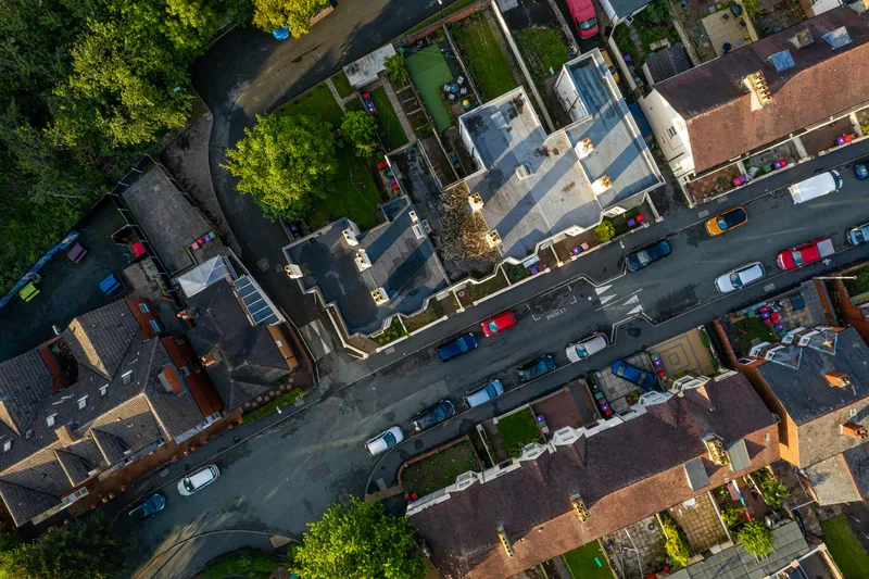
According to EarthSense, collating this data would allow key decision-makers to identify popular exercise routes and target resources to improve air quality at these locations.
The app is being funded by the European Space Agency’s grant programme Project CARAMEL (Clean Air Routing and Mobile Exposure Limitation).
The CARAMEL app uses space-based data, traffic simulation data, open data and public transport data with big data analytics. The solution will feature an air quality data model and routing system, an online mapping portal as well as reports on weekly pollution levels.
EarthSense app identifies clean air routes
company says the application could also help wider clean air strategies when combined with population movement data. According to EarthSense, collating this data would allow key decision-makers to identify popular exercise routes and target resources to improve air quality at these locations. The app is being funded by the European Space Agency’s grant programme Project CARAMEL (Clean Air Routing and Mobile Exposure Limitation). The CARAMEL app uses space-based data, traffic simulation data, open data and