EarthSense app identifies clean air routes

company says the application could also help wider clean air strategies when combined with population movement data. According to EarthSense, collating this data would allow key decision-makers to identify popular exercise routes and target resources to improve air quality at these locations. The app is being funded by the European Space Agency’s grant programme Project CARAMEL (Clean Air Routing and Mobile Exposure Limitation). The CARAMEL app uses space-based data, traffic simulation data, open data and
October 15, 2018 Read time: 1 min

UK-based air quality specialist 8834 EarthSense is developing an app which will identify and map clean air routes for people cycling or exercising. The company says the application could also help wider clean air strategies when combined with population movement data.

According to EarthSense, collating this data would allow key decision-makers to identify popular exercise routes and target resources to improve air quality at these locations.

The app is being funded by the European Space Agency’s grant programme Project CARAMEL (Clean Air Routing and Mobile Exposure Limitation).

The CARAMEL app uses space-based data, traffic simulation data, open data and public transport data with big data analytics. The solution will feature an air quality data model and routing system, an online mapping portal as well as reports on weekly pollution levels.

Related Content

  • November 4, 2020
    Bloomberg forms clean air partnership
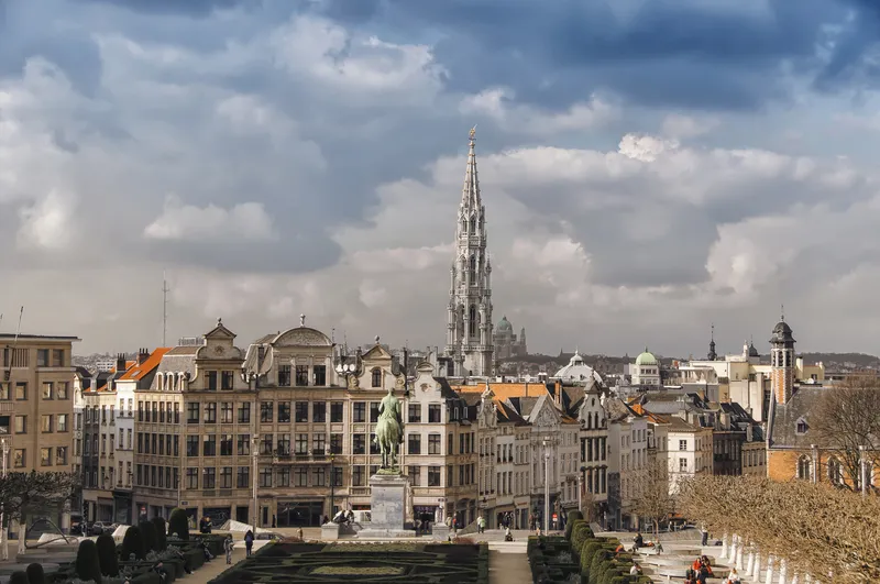
    Data collected from projects will inform policies implemented by the Brussels government 
  • November 7, 2013
    Smart Spanish city trials cell-based traffic management
    David Crawford reports on an urban electronic nervous system. The northern Spanish city of Santander – historically a port - is now an emerging technology showcase attracting global attention as a prototype for a medium-sized smart city of the future. In a move to determine the optimal use of available data, it is creating a de-facto experimental laboratory for sensor and mobile phone-based urban traffic management and environmental monitoring innovations.
  • December 15, 2022
    Multimodal simulation helps to improve the airport experience
    The vision of the IMHOTEP project is a multimodal European transport system, where different modes of travel are seamlessly integrated to give passengers a great door-to-gate and gate-to-door experience. Marcel Sala, scientific researcher at Aimsun, explains how this works at airports
  • October 6, 2020
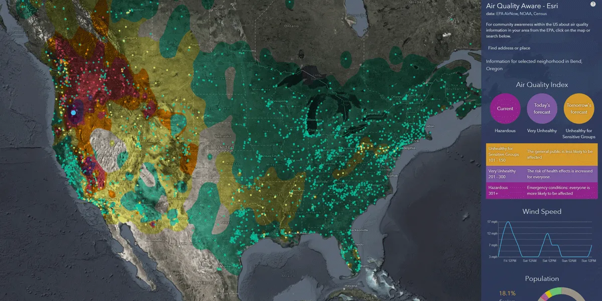
    Esri exposes US air pollution impact
    App uses data from AirNow programme, American Community Survey and NOAA wind forecast