EarthSense app identifies clean air routes

company says the application could also help wider clean air strategies when combined with population movement data. According to EarthSense, collating this data would allow key decision-makers to identify popular exercise routes and target resources to improve air quality at these locations. The app is being funded by the European Space Agency’s grant programme Project CARAMEL (Clean Air Routing and Mobile Exposure Limitation). The CARAMEL app uses space-based data, traffic simulation data, open data and
October 15, 2018 Read time: 1 min

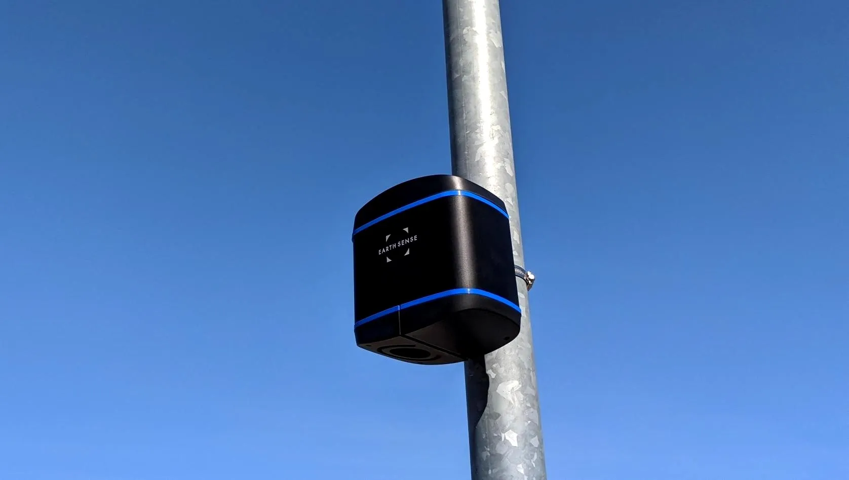
UK-based air quality specialist 8834 EarthSense is developing an app which will identify and map clean air routes for people cycling or exercising. The company says the application could also help wider clean air strategies when combined with population movement data.

According to EarthSense, collating this data would allow key decision-makers to identify popular exercise routes and target resources to improve air quality at these locations.

The app is being funded by the European Space Agency’s grant programme Project CARAMEL (Clean Air Routing and Mobile Exposure Limitation).

The CARAMEL app uses space-based data, traffic simulation data, open data and public transport data with big data analytics. The solution will feature an air quality data model and routing system, an online mapping portal as well as reports on weekly pollution levels.

For more information on companies in this article

Related Content

  • Intelligent powertrains could make cost cuts
    April 30, 2020
    Intelligent vehicle powertrains could be a way of making substantial cuts in operating costs and emissions. David Crawford looks at some far-reaching initiatives in Europe and North America
  • Siemens launches Zephyr air monitoring
    July 3, 2020
    Integrated with traffic management systems, it measures a range of pollutants
  • Satellite based goods vehicle tracking comes a step closer
    March 15, 2012
    A project aimed at proving the viability of satellite-based goods tracking in Europe has come to a close – establishing everything necessary for commercial services to flourish. A landmark stage was reached in tracking of goods across Europe in December last year, with conclusion of the Scutum project – ‘Securing the EU GNSS adoption in transport of dangerous materials’. This has validated the accuracy and reliability of the European Geostationary Navigation Overlay Service (EGNOS) for goods tracking and se
  • IRF World Congress 2024: moving ahead
    October 22, 2024
    On the last day of the three-day IRF World Congress 2024 in Istanbul, attendees heard what can work best, what can be improved and what the future might hold for those pursuing sustainable goals. David Arminas reports.