Digiwest announces BlueMAC 2.0 with enhanced analytics, plus new Florida DOT deployments

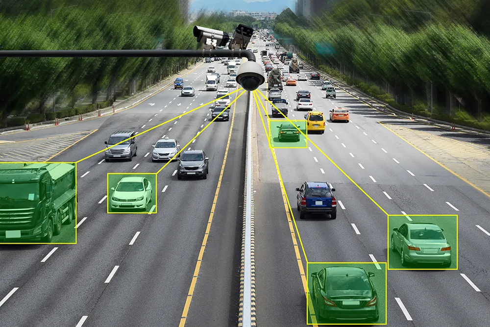
Digiwest announced the upcoming launch of BlueMAC site services 2.0. BlueMAC allows state agencies, counties and cities to collect real-time data. The new version of the BlueMAC data collection system offers enhanced analytics, delivering a range of capabilities from basic travel time and origin-destination reporting to complex tasks such as multiple turn movement delay. The new version is expected to be available in August 2015.
June 1, 2015 Read time: 1 min

8118 Digiwest announced the upcoming launch of BlueMAC site services 2.0. BlueMAC allows state agencies, counties and cities to collect real-time data. The new version of the BlueMAC data collection system offers enhanced analytics, delivering a range of capabilities from basic travel time and origin-destination reporting to complex tasks such as multiple turn movement delay. The new version is expected to be available in August 2015.

In addition, Digiwest announced that Florida DOT District 5 is upgrading its BlueMAC deployments for origin-destination, travel time and delay using portable and permanent devices. Currently, BlueMAC hardware is installed in multiple Florida counties, and it is integrated with Florida’s statewide SunGuide infrastructure.

For more information on companies in this article

Related Content

  • Syracuse models post-industrial revival for US cities
    August 13, 2015
    A connective corridor in Syracuse, New York State, could be a model for other post-industrial cities, as David Crawford discovers. The aim of the city of Syracuse’ 5.6km-long Connective Corridor in Onandaga County in upstate New York is to create a model ‘complete street’ for use in wider regeneration schemes. Key transport-sector components are traffic calming, high-quality transit with accessible passenger information, plus walkability and bike-friendliness.
  • Measuring vehicle lengths with a single loop - promising results
    July 27, 2012
    District 7 of Caltrans has been conducting trials to see whether the use of a single inductive loop to measure vehicle lengths and so identify heavy trucks is feasible. So far, the results have been very promising, according to Lead Transportation Engineer Steve Malkson. Between them, the adjoining ports of Los Angeles and Long Beach, the US's two biggest, cover some 10,700 acres (43km2) and 68 miles (109km) of waterfront.
  • Teledyne Flir: here’s how to find the right ITS camera
    January 4, 2022
    From lighting to weather, there are so many elements which need to be taken into account when choosing a camera for ITS operations. Riana Sartori from Teledyne Flir offers a buyer’s guide
  • New model generation with PTV’s Model2Go
    August 8, 2022
    PTV Group has launched a product which automates much of the painstaking business of building transport models. Adam Hill talks to the company’s Udo Heidl and Ben Stabler to find out more