Bridge condition sensor

LifeSpan Technologies, a specialist in advanced structural condition assessment solutions for civil infrastructure, has announced the commercial availability of its newest PeakStrain sensor, allowing rapid and accurate evaluation of bridge conditions after a seismic event.
February 6, 2012 Read time: 1 min
2269 LifeSpan Technologies, a specialist in advanced structural condition assessment solutions for civil infrastructure, has announced the commercial availability of its newest PeakStrain sensor, allowing rapid and accurate evaluation of bridge conditions after a seismic event.

Visual inspection techniques have been used to assess the condition of bridges for decades, both in the US and many other countries. However, engineers in the US and Japan know that visual inspection is subjective, highly variable, and not sufficiently reliable for long-term bridge management. It is also slow and can be costly if bridges have to be visually inspected after each seismic event.

LifeSpan's new extended range PeakStrain sensor will be used by Japan Railways on the Shinkansen, a vital link across the country, to monitor lateral displacement of bridge members as a result of seismic activity. The device will allow Japan Railways to quickly determine if Shinkansen bridges can continue to be used or must be shut down to protect passengers and railway equipment.

Related Content

  • September 6, 2017
    Remote remedies help US authorities identify bridge deficiencies
    Every day 185 million vehicles – cars, trucks, school buses, emergency response units - cross one or more of America’s 55,710 'structurally compromised' steel and concrete road bridges, the highest concentration of which are in Iowa (nearly 5,000), Pennsylvania and Oklahoma. Nearly 2,000 of these crossings are located on interstate highways, according to the American Road and Transportation Builders Association's recent analysis of the US Department of Transportation's 2016 National Bridge Inventory.
  • May 14, 2025
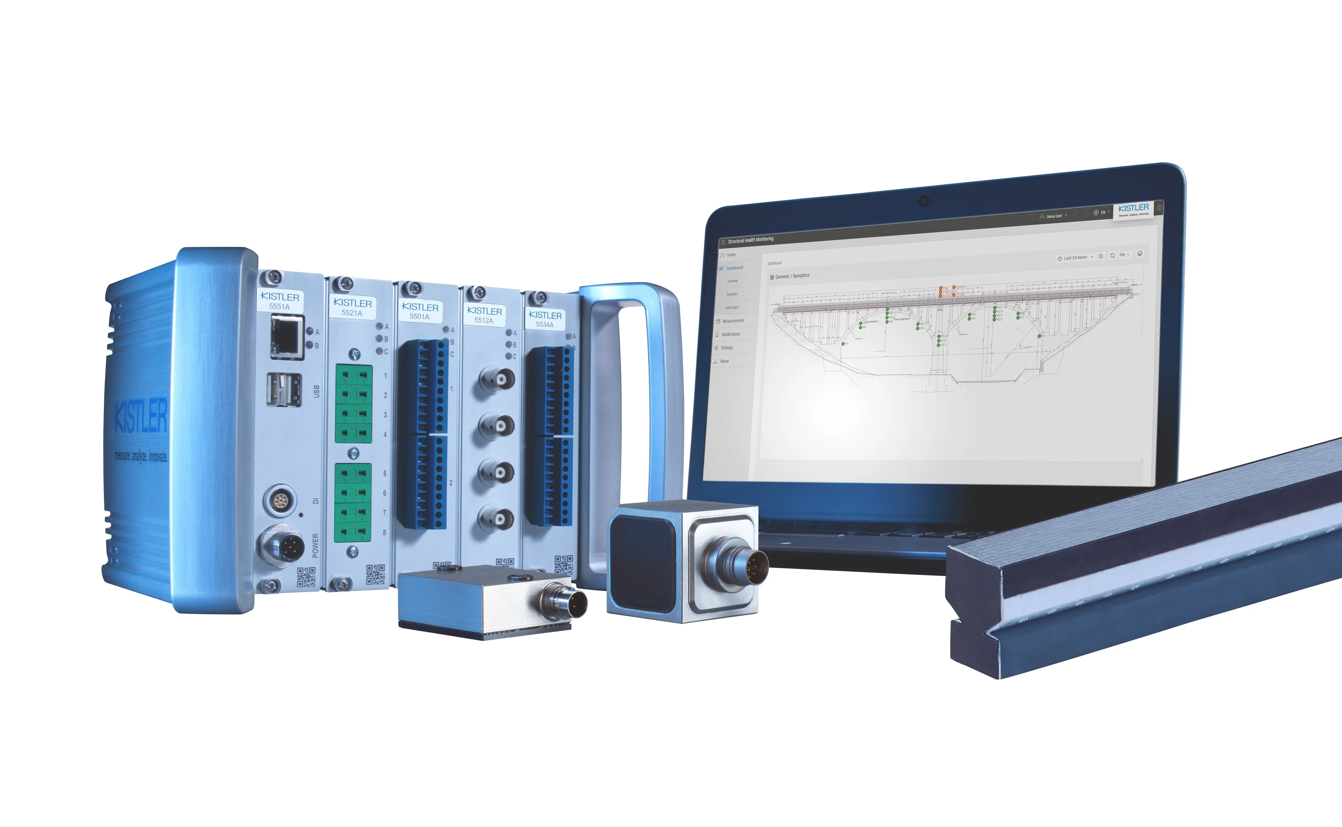
    Kistler bridges health data gap
    Cloud-based software platform completes structural health monitoring package
  • February 23, 2017
    LiDAR sets its sights on future problems
    AAdvances in LiDAR are helping transport authorities improve services and identify potential problem areas, as geospatial technology expert Dr Neil Slatcher explains. The effects of climate change on the transport infrastructure have long been a cause of concern within the transportation sector - and not only on the structures themselves but also on the surrounding areas. This year, those concerns have become reality with landslides, structural collapses and surfacing issues impacting services across the wo
  • January 18, 2012
    Inertial sensors dramatically improve GNSS for ITS applications
    Phil Harris, Thales UK, on how fused sensor data can significantly enhance GNSS-based positioning systems' performance in urban areas. Global Navigation Satellite System (GNSS)-based positioning is unique among available positioning technology due to its universal coverage and low equipment cost. By measuring the distances between an unknown position (such as a vehicle), and at least three known positions (GPS satellites), the unknown position can be calculated in three dimensions (latitude, longitude, and