Borum launches GPS line marking management

Borum, an established global supplier of professional machinery for line marking, will have a wide array of its line marking machines and related equipment at Intertraffic Amsterdam. It will also be launching new features for the Borum LineMaster computer, including a GPS module that has been designed to provide a visual overview of line marking jobs through Google Earth.
February 12, 2016 Read time: 1 min
The Borum LineMaster computer, including a GPS module

25 Borum, an established global supplier of professional machinery for line marking, will have a wide array of its line marking machines and related equipment at Intertraffic Amsterdam. It will also be launching new features for the Borum LineMaster computer, including a GPS module that has been designed to provide a visual overview of line marking jobs through Google Earth.

The computer is the brain of Borum road marking
systems. It provides total control of all road marking tasks, from pre-marking, line programming,  and line application to reporting and invoicing.

Now, with the optional GPS module, Borum says it is possible to also track and record the line marking positions for each individual line marking job. A machine’s activity is automatically converted into a separate GPS log file, which customers can now view using Google Earth. This means they can visualize visualise relevant information and technical details of road marking jobs, their timeline and evolution at different points in time and much more.

For more information on companies in this article

Related Content

  • Asecap Days 2024: Getting used to the new normal
    August 27, 2024
    Asecap Days 2024 in Milan focused on environmental protection of road infrastructure, digital twin-based maintenance and monitoring of highways as well as the impact of electric vehicles, reports David Arminas
  • On a WIM – a global view of weigh in motion
    May 25, 2016
    Q-Free’s Andrew Lees looks at regional characteristics and technology trends in the global Weigh-In-Motion market. The principles of Weigh-In-Motion (WIM) are well established. Data derived from vehicles passing over in-ground sensors can be interpreted for vehicle classification (axle counts and spacing) and positive identification (especially when linked to image capture) applications as well as to derive individual axle and gross vehicle weight (GVW).
  • Jenoptik supplies sophisticated multi-section control project
    November 17, 2014
    Efficient speed enforcement in the most highly frequented tunnel in Austria on the A7 near Linz. The Bindermichl-Niedernhart tunnel complex on Austrian highway A7 connects the major east/west A1 route from Vienna/ Bratislava to Munich/Salzburg with the A7/ E55 running south from Prague in the Czech Republic. This happens right in the middle of the city of Linz, Austria.
  • IRD introduces AI-enabled CVSA decal reader
    June 29, 2021
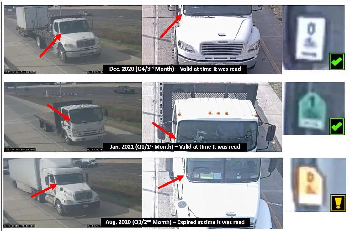
    IRD product is for automatic pre-screening of commercial vehicles ahead of weigh stations