3D lane geometry for TomTom Orbis Maps

New development uses AI, including fundamental vision models
By Adam Hill January 7, 2025 Read time: 1 min
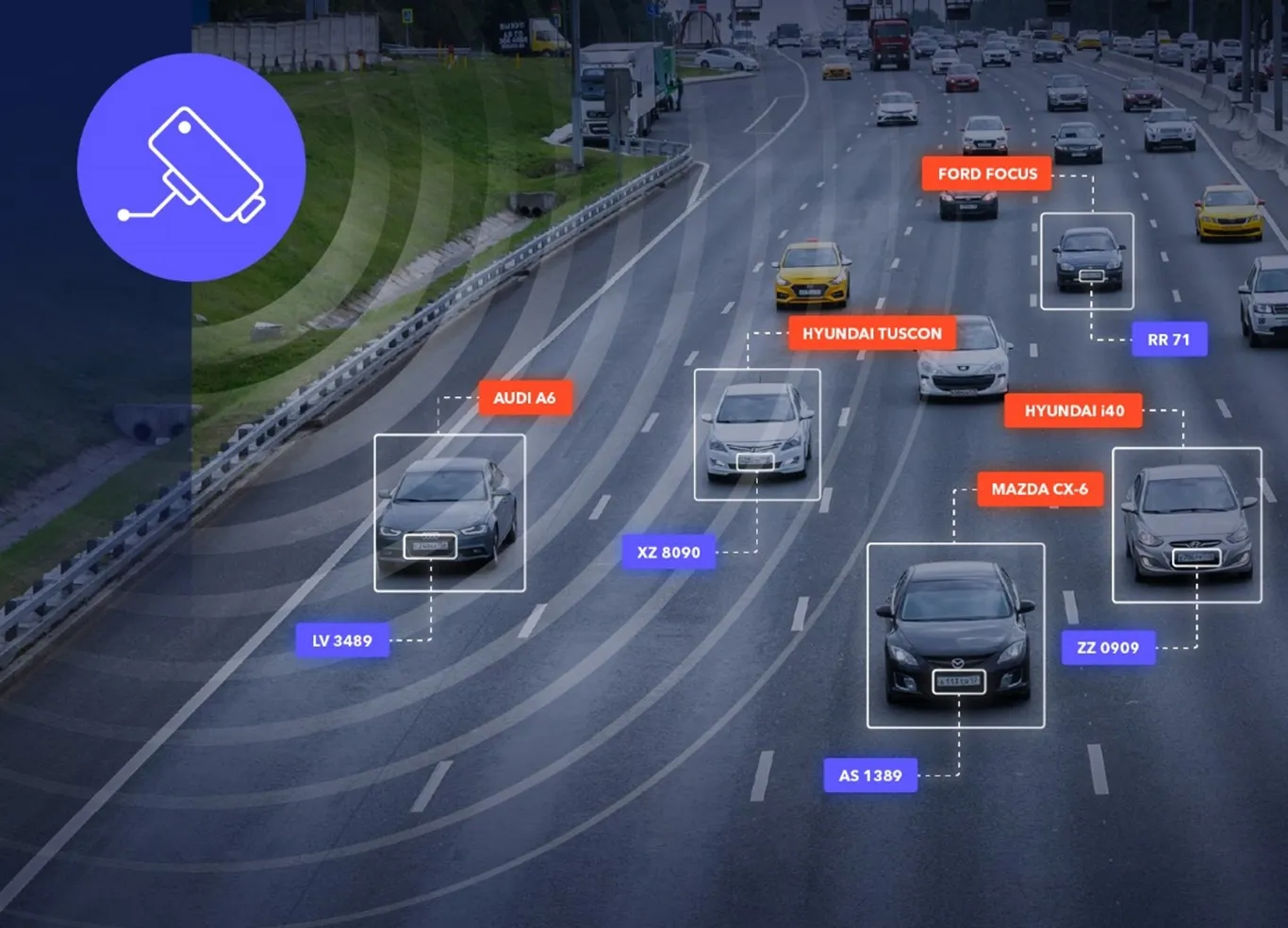
ADAS requires lane-level maps for reliability and safety (image: TomTom)

Location information provider TomTom has expanded lane geometry data on its Orbis Maps.

The maps now offer "lane-level precision that is measured in centimetres, available on a global scale and continuously refreshed", it says.

Mike Schoofs, the company's chief revenue officer, says the move marks a "transformative step in mapping technology".

Using AI, including fundamental vision models, TomTom Orbis Maps can now produce 3D lane geometry for any road type, by merging crowdsourced observations from production vehicles and dashcams, aerial and satellite imagery and Lidar survey data.

Advanced driver assistance systems (ADAS) rely on lane-level maps for reliability and safety, TomTom says, and the new maps can offer accurate delineation of road surfaces and painted lines, and combine 3D traffic signs with insights into driver movements and behaviour.

This "enables navigation in complex urban environments through better anticipation of tricky situations, such as busy intersections, high-speed junctions, and interactions with vulnerable road users", the company suggests.

It can also help last-mile logistics by enabling transport companies to optimise pick-up and drop-off processes.

"Urban planners also benefit from greater granularity in map data, which helps them make informed decisions on lane-level traffic management, bike lane and public transport planning, and parking space optimisation," TomTom says.

For more information on companies in this article

Related Content

  • Image Sensing Systems premiers integrated radar and Bluetooth sensor
    June 13, 2016
    Image Sensing Systems (ISS) is here at ITS America 2016 San Jose to introduce the RTMS Sx-300 with integrated Bluetooth sensor to its traffic management product line. The device is a powerful tool that agencies can use to better manage traffic. ISS says the combination of the RTMS radar with the robust Bluetooth sensor is the ideal solution for incident detection and providing traffic managers with highly accurate travel time and origin/destination information.
  • Innoviz and Harman combine to offer LiDAR to car makers
    January 17, 2019
    Innoviz Technologies and Samsung Electronics subsidiary Harman International have teamed up to offer LiDAR solutions to car manufacturers. The companies – Innoviz the manufacturer and Harman the supplier – say their partnership will support the “unstoppable move towards semi- to fully-autonomous vehicles (AVs)”. Last year, Innoviz signed a serial production agreement with BMW. InnovizOne is a solid-state LiDAR sensor designed specifically for automotive deployments, with an emphasis on what the com
  • Towards intelligent road infrastructure
    October 8, 2021
    A digital transformation is happening in the world today and the result is that Europe’s transport infrastructure, and also the car industry are experiencing revolutionary changes. Jēkabs Krastiņš looks at the challenges and plots the road ahead.
  • Single system simplicity for smarter city transport
    February 23, 2017
    All encompassing, city-wide transport monitoring and control systems are beginning to make their way onto the market, as Colin Sowman hears. The futuristic vision of cities where everything is connected and operated with maximum efficiency by a gigantic computer remains a distant prospect but related sectors and services are beginning to coalesce: transport monitoring and control for instance.