3D lane geometry for TomTom Orbis Maps

New development uses AI, including fundamental vision models
By Adam Hill January 7, 2025 Read time: 1 min
ADAS requires lane-level maps for reliability and safety (image: TomTom)

Location information provider TomTom has expanded lane geometry data on its Orbis Maps.

The maps now offer "lane-level precision that is measured in centimetres, available on a global scale and continuously refreshed", it says.

Mike Schoofs, the company's chief revenue officer, says the move marks a "transformative step in mapping technology".

Using AI, including fundamental vision models, TomTom Orbis Maps can now produce 3D lane geometry for any road type, by merging crowdsourced observations from production vehicles and dashcams, aerial and satellite imagery and Lidar survey data.

Advanced driver assistance systems (ADAS) rely on lane-level maps for reliability and safety, TomTom says, and the new maps can offer accurate delineation of road surfaces and painted lines, and combine 3D traffic signs with insights into driver movements and behaviour.

This "enables navigation in complex urban environments through better anticipation of tricky situations, such as busy intersections, high-speed junctions, and interactions with vulnerable road users", the company suggests.

It can also help last-mile logistics by enabling transport companies to optimise pick-up and drop-off processes.

"Urban planners also benefit from greater granularity in map data, which helps them make informed decisions on lane-level traffic management, bike lane and public transport planning, and parking space optimisation," TomTom says.

For more information on companies in this article

Related Content

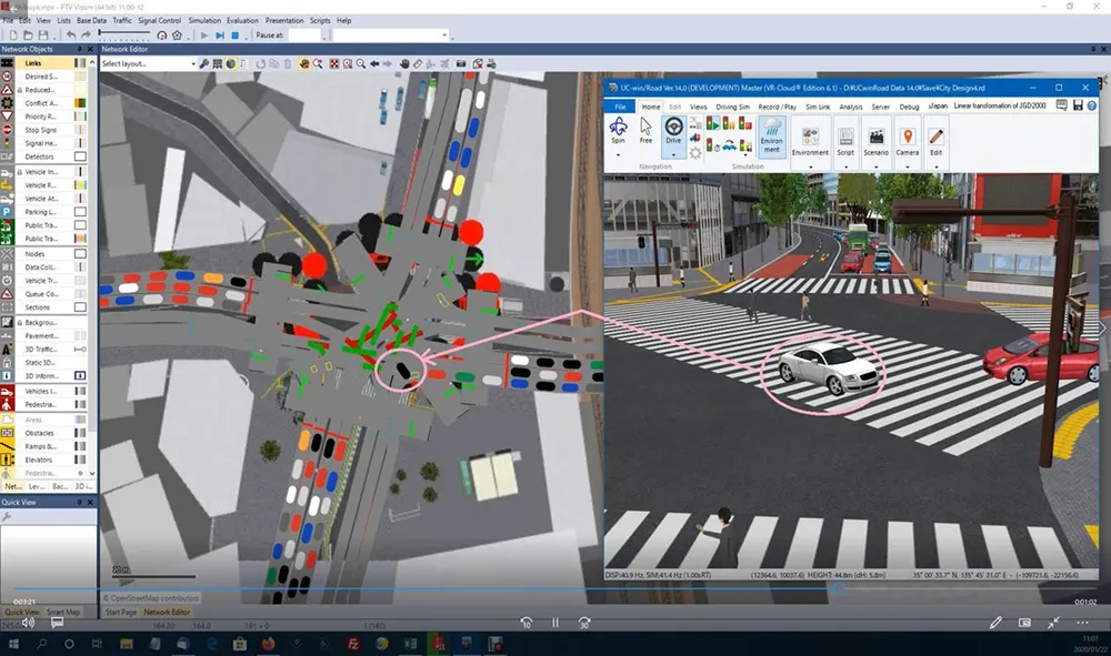
  • PTV partners with 3D VR specialist Forum8 
    June 11, 2020
    Idea is to create more realistic pictures of traffic networks for urban planning
  • Data goldmines offer rich pickings
    May 31, 2013
    Astronomical is not too grand a term to describe the current rate of growth in transportation-related data. Massive amounts of traffic related information, such as speed, volume, incidents and weather are being generated every second by road operators and users alike. Big data’ derives its name from the sheer amount and complexity of available raw data. Its potential value is starting to emerge among the intelligent transportation systems community. A gold rush is taking place to capture this value, with da
  • UK researchers developing 3D 'black box' technology for vehicles
    July 6, 2016
    UK-based Roke Manor Research (Roke) has developed what it says is the world's first viable 3D 'black box' technology for vehicles, using a single dashboard camera. Fitted to an autonomous Toyota Prius, Roke demonstrated how data captured via vision processing technology could be used to provide a precise 3D reconstruction following a road incident. It's set to offer insurers, drivers and, in the case of autonomous vehicles, manufacturer’s independent evidence of what happened. Roke believes this will not
  • Safeguarding cities against wrong-way drivers
    June 10, 2024
    Thermal imaging and artificial intelligence analytics provide the best path towards preventing deadly auto accidents, explains Stefaan Pinck of Flir